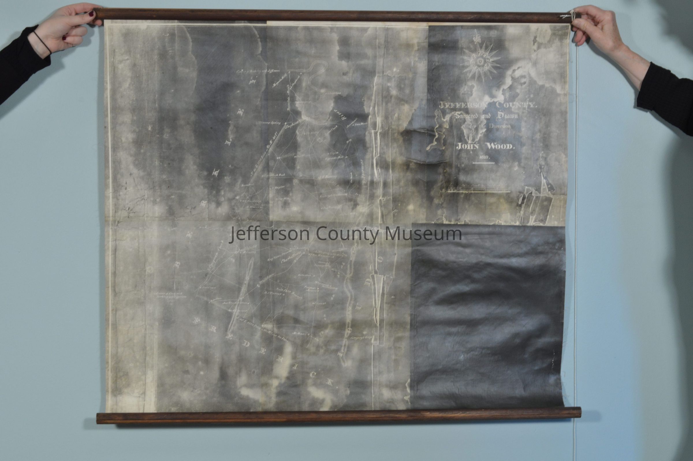
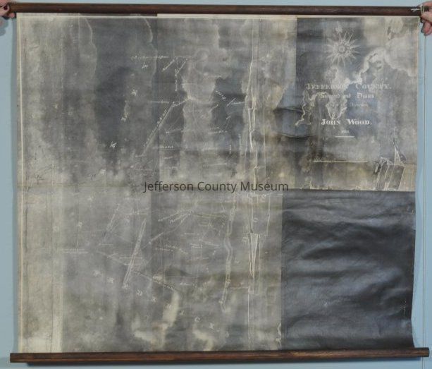
Name/Title
John Wood 1820 map of Jefferson CountyEntry/Object ID
ARC633Description
Jefferson County. Surveyed and Drawn under the Direction of John Wood. 1820. Black and white. Paper on fabric backing with wooden rollers. Size does not include the wooden rollers.Acquisition
Accession
00Source or Donor
Found in collectionAcquisition Method
GiftMap Details
Scale
1 mile = 1"Area or Region
* Untyped Area or Region
Jefferson County, West VirginiaDate Published
1820