HUB
Collections
Classifications
About
App
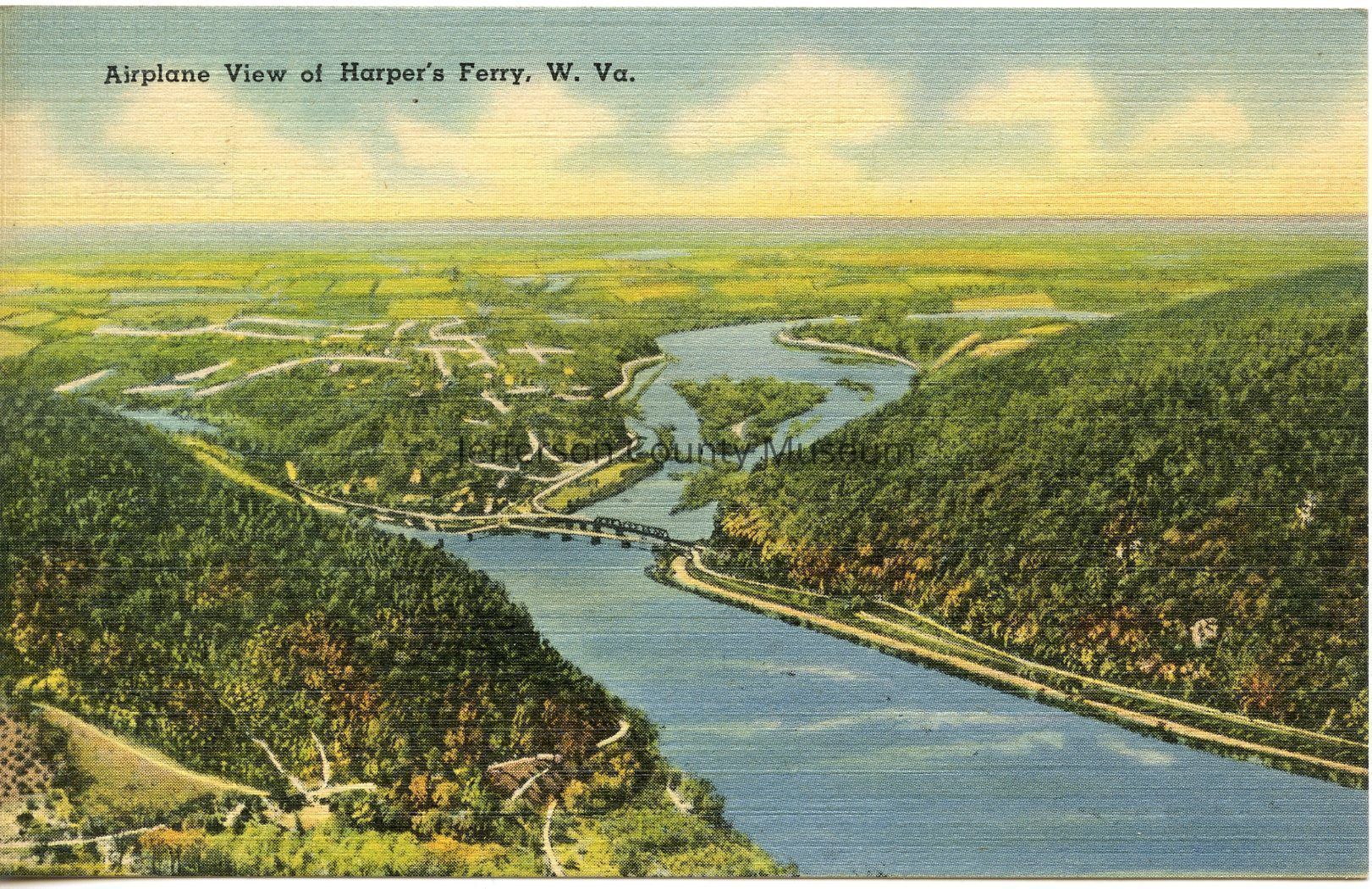
Airplane view of Harper's Ferry
Photograph
-
Jefferson County Museum
Airplane view of Harper's Ferry
Origformat: Other
Name/Title
Airplane view of Harper's Ferry
Entry/Object ID
IMG1238
Description
Airplane view of Harper's Ferry, West Virginia. Harper's Ferry, West Virginia is the lowest point in the state having an elevation of 272 feet above sea level. This view shows the confluence of the Shenandoah and Potomac Rivers.
Acquisition
Accession
350
Source or Donor
Mutchler, James
Acquisition Method
Gift
Made/Created
Place
* Untyped Place
Harpers Ferry, West Virginia