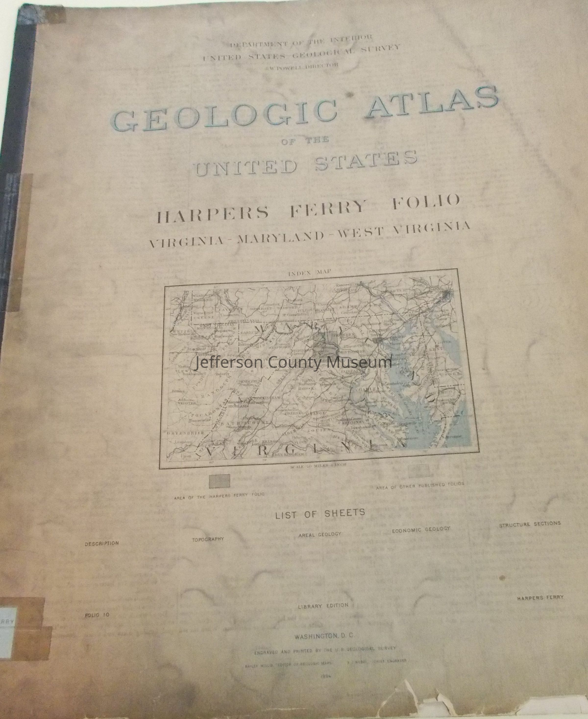
Geologic Atlas of the United States Harpers Ferry Folio
Name/Title
Geologic Atlas of the United States Harpers Ferry Folio
Entry/Object ID
ARC194
Description
Four different maps of parts of Jefferson, Berkeley, Clarke, Loudoun, Washington, and Frederick Counties: (1) Topographical map; (2) Areal geology map; (3) Economic geology map; and (4) Structural sections map. Also Explanation, and Description of Harpers Ferry Sheet. Bailey Willis, Editor of Geologic Maps. S.J. Kubel, Chief Engraver.
Insets: Front cover has Index Map showing location of Harpers Ferry Folio in relation to surrounding parts of WV, VA, MD and PA.
Acquisition
Accession
00
Source or Donor
Found in collection
Acquisition Method
Gift
Map Details
Area or Region
* Untyped Area or Region
Harpers Ferry sheet: part of West Virginia, Virginia, and Maryland