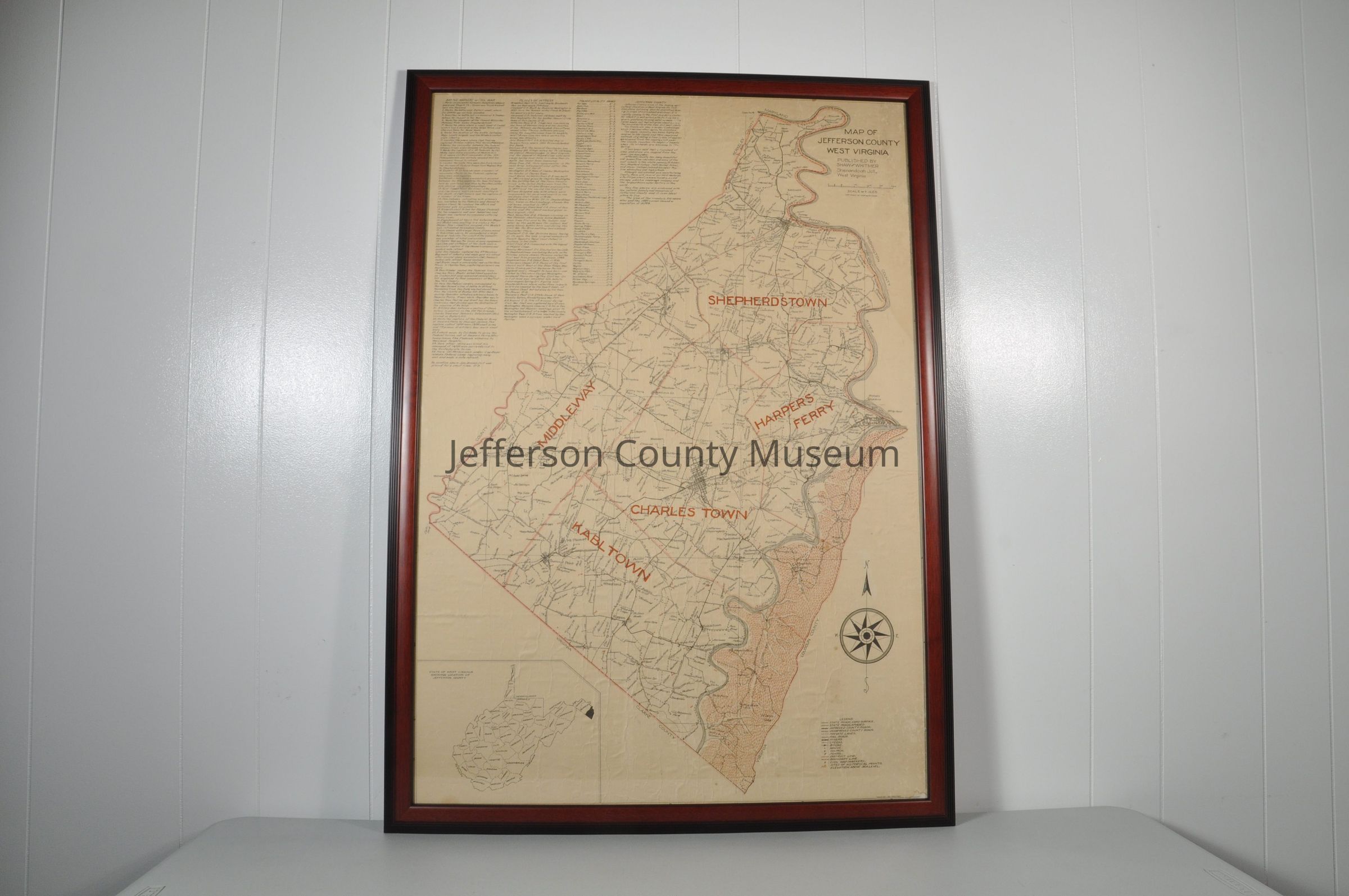
Shaw-Whitmer map of Jefferson County with districts in red letters. "SHEPHERDSTOWN, HARPERS FERRY, CHARLES TOWN, KABLTOWN (sic), MIDDLEWAY". Boundary of county is in red as well as everything east of the Shenandoah River. In upper right corner "MAP OF JEFFERSON COUNTY WEST VIRGINIA PUBLISHED BY SHAW and WHITMER Shenandoah Jct., West Virginia". Provides names of farms throughout Jefferson County. Date is circa 1920 since 1920 census is cited.
Insets: State of West Virginia; list of Civil War battle markers; places of interest; towns & locality names; and legend
Acquisition
Accession
00
Source or Donor
Found in collection
Acquisition Method
Gift
Archive Details
Date(s) of Creation
circa 1920
Primary Language
English
Archive Notes
Date(s): 1920 circa
Medium: paper
Publisher: Shaw and Whitmer
Place Published: Shenandoah Junction, West Virginia
Scale: 2.5" = 2.5 miles