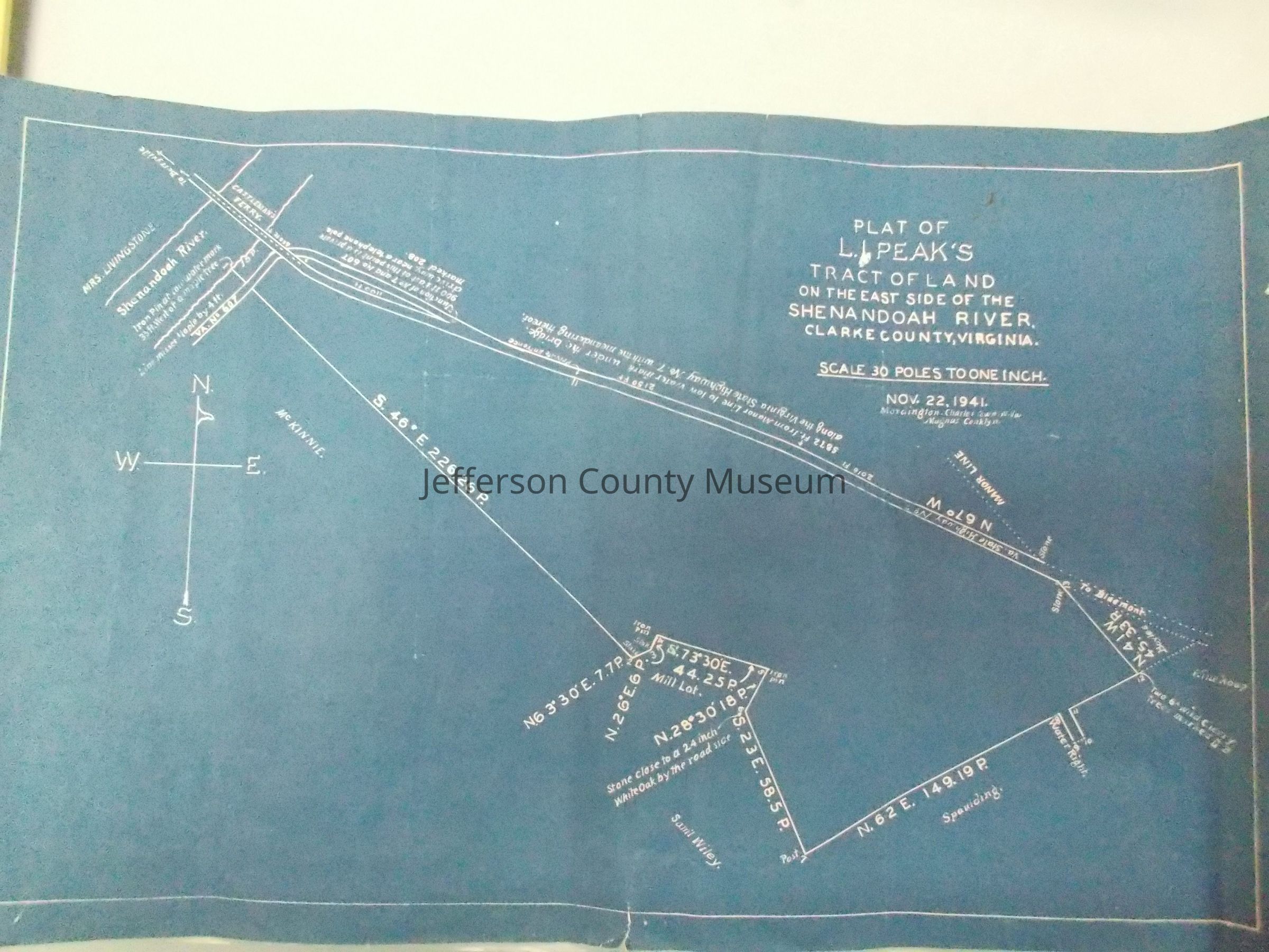
Blueprint survey of L. I. Peak's tract of land on the east side of the Shenandoah River, Clarke County, Virginia; from Castleman's Ferry to Winekoup property; bounded by Virginia route 7 on one side and other property owners on other side.
Acquisition
Accession
42
Source or Donor
Hankey, Rosa
Acquisition Method
Gift
Credit Line
NB: No Deed of Gift on record for this donor as of 2/6/14
Map Details
Scale
30 poles = 1"
Area or Region
* Untyped Area or Region
Castleman's Ferry section of the Shenandoah River, Clarke County, Virgin