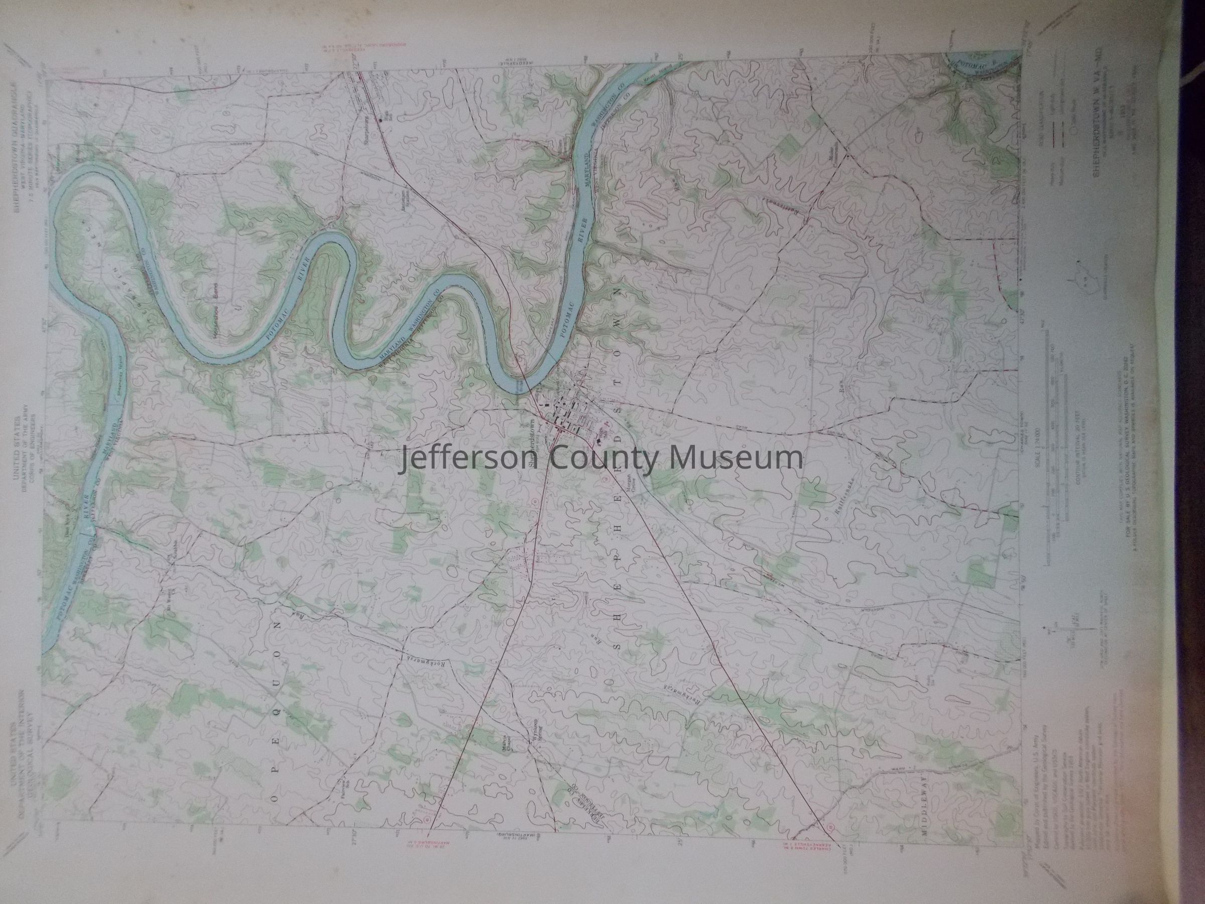
Color-coded map of Shepherdstown, WV area, including small portion of Berkeley County, WV and small portion of Maryland east of Potomac River. Mapped by U.S. Army Corps of Engineers. Topography by Soil Conservation Service. 1953 map was photorevised in 1971: revisions shown in purple compiled by the U. S. Geological Survey from aerial photographs taken 1971.