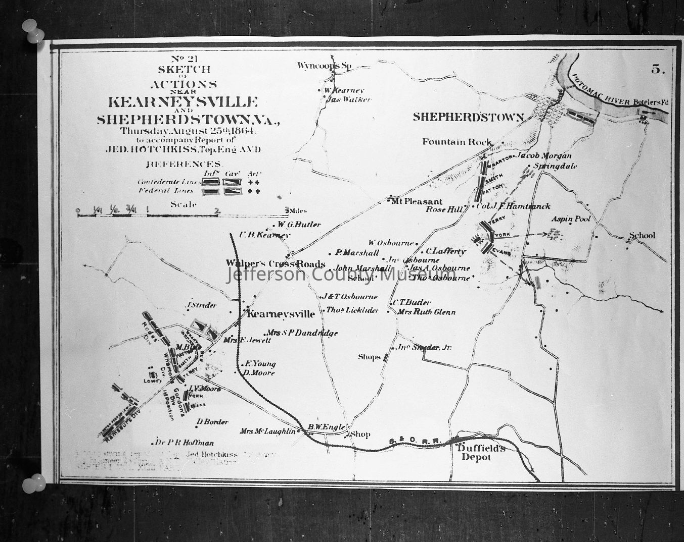
Sketch of actions near Kearneysville and Shepherdstown, Va.
Entry/Object ID
IMG1824
Description
Sketch of actions near Kearneysville and Shepherdstown, Va., Thursday, August 25th, 1864. Copy of Plate 82, map number 5 from the Atlas to Accompany the Official Records of the Union and Confederate Armies. The original map was drawn by Major Jedediah Hotchkiss for General Jubal A. Early during the 1864 Shenandoah Valley Campaign. Map shows action principally around Kearneysville on August 25th. Copy made for Francis Printz whose home Aspin [sic] Pool is shown on the map.
Acquisition
Accession
358
Source or Donor
Fitzpatrick, Edwin A., III
Acquisition Method
Donation
Credit Line
From the Edwin A. Fitzpatrick, Jr., Collection
Made/Created
Artist
Fitzpatrick, Edwin A.
Studio
Edwin A. Fitzpatrick, 627 Jefferson Avenue, Charles Town, WV
Date made
1864
Place
* Untyped Place
Shepherdstown, West Virginia/Kearneysville, West Virginia