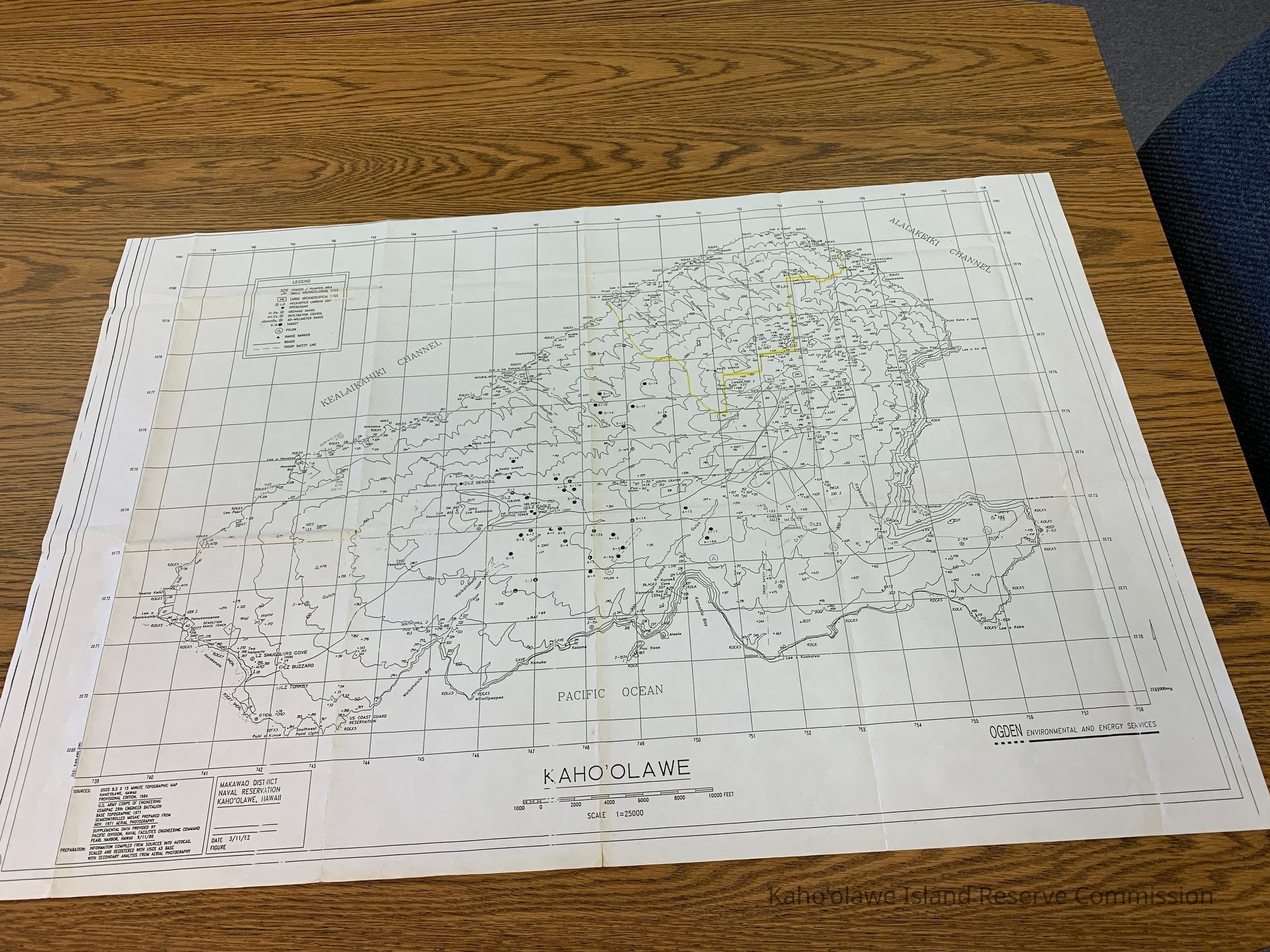
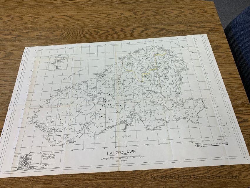
Name/Title

Kaho'olawe Map

Entry/Object ID

2009.002.3

Scope and Content

Map of Kahoolawe with yellow highlight drawn around section on northern side of island. Includes archaeological site numbers, place names and features. Insets: UL quadrant legend inset; LR quadrant geographic location inset; inset with source and preparation information East Longitude: 156 31'5 North Latitude: 20 36'40 South Latitude: 20 30'12 West Longitude: 156 42'1

Collection

KIRC Administration

Cataloged By

Gavagan,Terri

Lexicon

Nomenclature 4.0

Nomenclature Secondary Object Term

Map

Nomenclature Primary Object Term

Cartograph

Nomenclature Sub-Class

Graphic Documents

Nomenclature Class

Documentary Objects

Nomenclature Category

Category 08: Communication Objects

LOC Thesaurus for Graphic Materials

Administrative agencies, Archaeological sites

Search Terms

Administrative Records, Maps, administrative records, Archaeological sites, maps, military, Cultural resources, Military

Archive Items Details

Title

Kaho'olawe Map

Description

Map of Kahoolawe with yellow highlight drawn around section on northern side of island.

Creator

Ogden Environmental & Energy Services

Date(s) of Creation

Mar 11, 1992

Subjects

Maps, Archaeological sites

Notes

Location: Storeroom Container: Archive Map Drawer 1

Other Names and Numbers

Other Numbers

Number Type

Other Number

Other Number

MAP-92

Relationships

Related Places

Place

Ahupua'a

Kaho'olawe

Moku

Honua'ula

Mokupuni

Maui Mokupuni

State/Province

Hawai'i

Country

United States of America