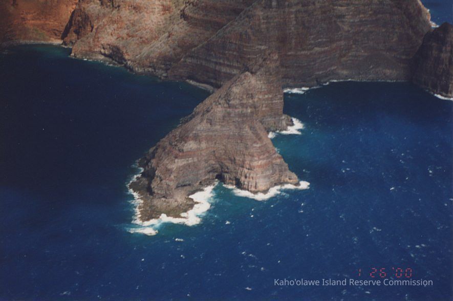
Aerial view of Pu'ukoa'e
Aerial view of Pu'ukoa'e
This aerial image captures a stunning, rugged coastline with steep cliffs descending into the deep blue sea.
This aerial image captures a stunning, rugged coastline with steep cliffs descending into the deep blue sea.