Name/Title
Aerial-Puhianenue coastlineEntry/Object ID
2010.001.179Description
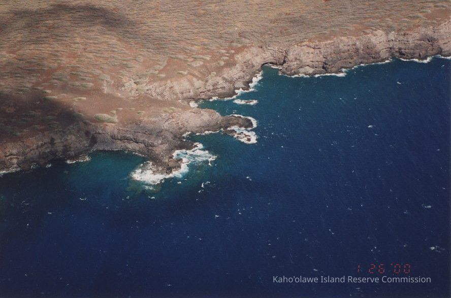
A very high aerial photo of part of the coastline at Puhianenue including the marine debris cleaunup site (rocky beach at top of bay to right from center of picture).Photograph Details
Subject
EnvironmentSubject Place
Traditional Place Name
Puhianenue'Ili
Kealaikahiki 'IliAhupua'a
Kaho'olaweMoku
Honua'ulaMokupuni
Maui MokupuniState/Province
Hawai'iCountry
United States of AmericaCollection
KIRC AdministrationCataloged By
Gavagan,TerriMade/Created
Date made
Jan 26, 2000Notes
Medium: Photographic Paper
Photographic Process: UnknownLexicon
Nomenclature 4.0
Nomenclature Secondary Object Term
Photograph, ColorNomenclature Primary Object Term
PhotographNomenclature Sub-Class
Graphic DocumentsNomenclature Class
Documentary ObjectsNomenclature Category
Category 08: Communication ObjectsLOC Thesaurus for Graphic Materials
Aerial photographs, Aerial views, CoastlinesSearch Terms
Environment, marine debrisOther Names and Numbers
Other Numbers
Number Type
Other NumberOther Number
PA96.1/79.aRelationships
Related Places
Place
Traditional Place Name
Puhianenue'Ili
Kealaikahiki 'IliAhupua'a
Kaho'olaweMoku
Honua'ulaMokupuni
Maui MokupuniState/Province
Hawai'iCountry
United States of AmericaRelated Publications
Notes
[\\KIRC-LIB-01\Library Database\KICC Reports\16 Place Names of Kaho'olawe.pdf] contains information about this area.