Name/Title
Aerial-Kaukamoku BayEntry/Object ID
2010.001.242Description
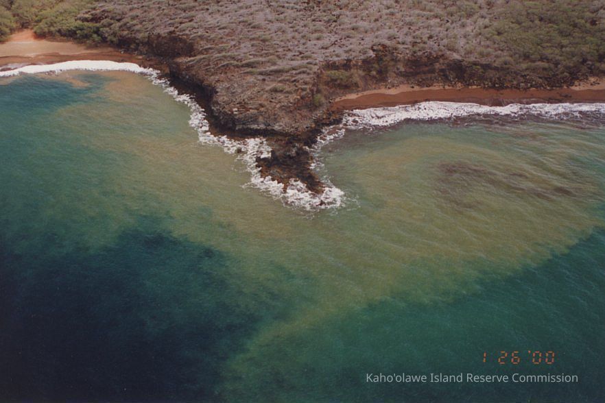
A high aerial photo of part of Kaukamoku Bay (to the left) and an adjacent bay, both with soil runoff in their surrounding waters.Photograph Details
Subject
CoastlineSubject Place
Bay
Kaukamoku Bay'Ili
Kūheia/KaulanaAhupua'a
Kaho'olaweMoku
Honua'ulaMokupuni
Maui MokupuniState/Province
Hawai'iCountry
United States of AmericaCollection
KIRC AdministrationCataloged By
Gavagan,TerriMade/Created
Studio
KIRC Ocean Resources Management Program (ORMP)Date made
Jan 26, 2000Notes
Frame Number: 33A
Medium: Photographic Paper
Photographic Process: UnknownLexicon
Nomenclature 4.0
Nomenclature Secondary Object Term
Photograph, ColorNomenclature Primary Object Term
PhotographNomenclature Sub-Class
Graphic DocumentsNomenclature Class
Documentary ObjectsNomenclature Category
Category 08: Communication ObjectsLOC Thesaurus for Graphic Materials
Aerial photographs, Aerial views, Coastlines, OceansSearch Terms
Environment, Soil Erosion, Ocean Resources Management Program (ORMP), ORMPOther Names and Numbers
Other Numbers
Number Type
Other NumberOther Number
PA96.1/115.b