HUB
Collections
Classifications
About
App
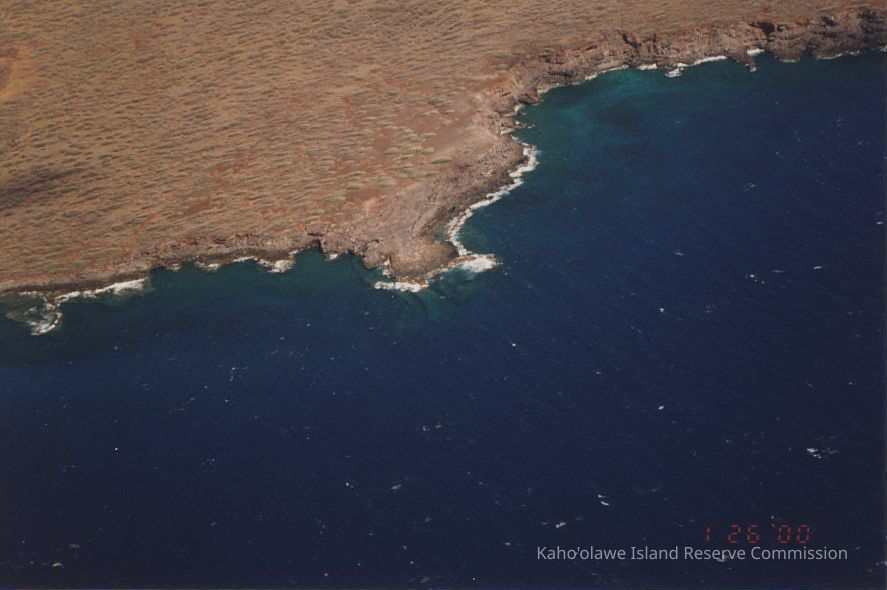
High aerial view of 'ili boundary between Kealaikahiki & Kunaka/Naalapa 'Ili
Photograph
-
Kaho'olawe Island Reserve Commission
High aerial view of 'ili boundary between Kealaikahiki & Kunaka/Naalapa 'Il
Origsize: 4" x 6"; Origformat: Print-Photographic; Resolution: 150 dpi
Name/Title
High aerial view of 'ili boundary between Kealaikahiki & Kunaka/Naalapa 'Ili
Entry/Object ID
2010.001.183
Description
A very high aerial photo of the 'ili boundary between Kealaikahiki and Kunaka/Naalapa 'Ili (small point to the right of larger point).
Collection
KIRC Administration
Cataloged By
Gavagan,Terri
Made/Created
Artist
Unknown
Date made
Jan 26, 2000
Place
'Ili
Kūnaka/Na'alapa
Ahupua'a
Kaho'olawe
Moku
Honua'ula
Mokupuni
Maui Mokupuni
State/Province
Hawai'i
Country
United States of America
Notes
Frame Number: 3A Medium: Photographic Paper Photographic Process: Unknown
Lexicon
Nomenclature 4.0
Nomenclature Secondary Object Term
Photograph, Color
Nomenclature Primary Object Term
Photograph
Nomenclature Sub-Class
Graphic Documents
Nomenclature Class
Documentary Objects
Nomenclature Category
Category 08: Communication Objects
LOC Thesaurus for Graphic Materials
Aerial photographs,
Aerial views,
Coastlines
Search Terms
Environment,
aerial,
coastline,
environment,
'ili boundary,
Kealaikahiki 'Ili,
Kunaka/Naalapa 'Ili,
Kunaka/Naalapa Ili
Other Names and Numbers
Other Numbers
Number Type
Other Number
Other Number
PA96.1/81.a
Dimensions
Height
4 in
Width
6 in