Name/Title
Aerial View of Key West, Fla.Entry/Object ID
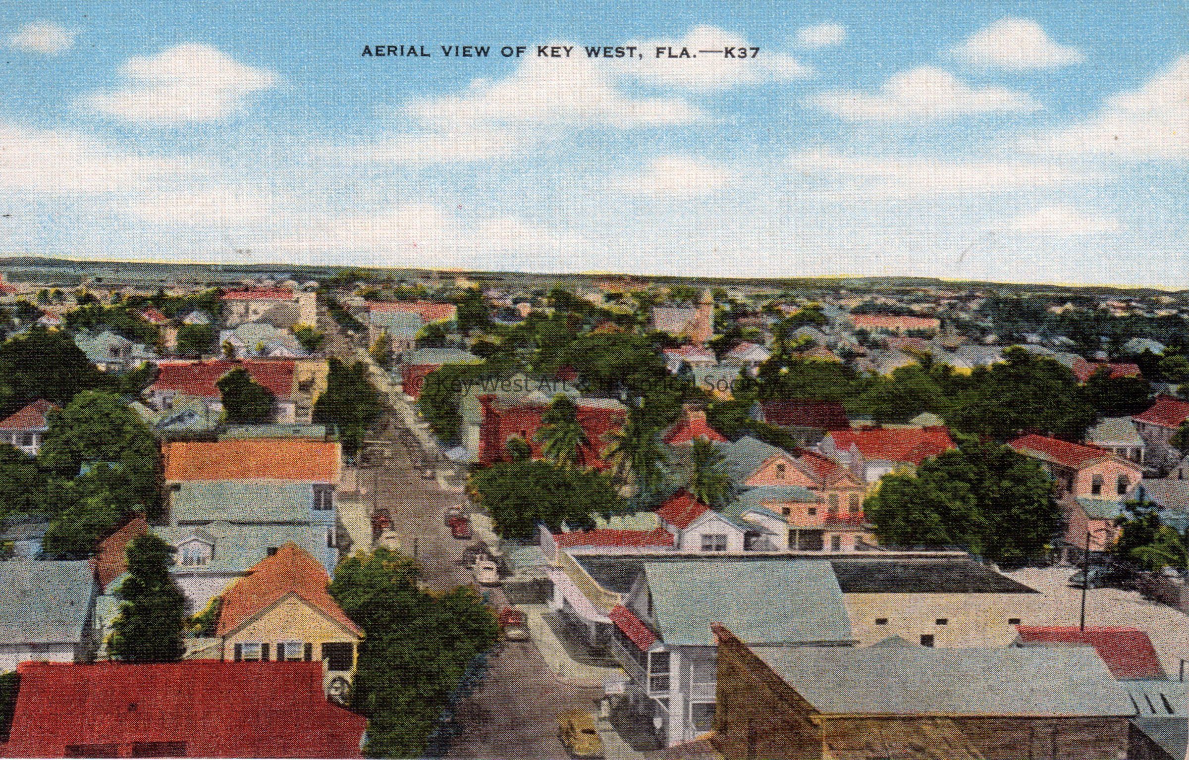
1990.01.0027bDescription
Postcard depicting an aerial view of Key West taken from the top of the La Concha Hotel looking east down Fleming Street. The description on the verso reads, 'This island city lies at the southern end of the Florida Keys, is approximately 5 miles long and 2 miles wide. A delightful, tropical winter resort with broad coral streets and tropical luxuriant gardens.'Subject Place
City
Key WestState/Province
FloridaCountry
United States of AmericaContinent
North AmericaCounty
MonroeCollection
Postcard CollectionLexicon
Nomenclature 4.0
Nomenclature Primary Object Term
PostcardNomenclature Sub-Class
Writing MediaNomenclature Class
Written Communication T&ENomenclature Category
Category 06: Tools & Equipment for CommunicationPostcard Details
Postcard Type
Linen (1930-1945)Place Published
City
Key WestState/Province
FloridaCountry
United States of AmericaContinent
North AmericaCounty
MonroePhotographer
Mooney, Cliff