Map of the Town of Key West Together with the Island

Map of the Town of Key West Together with the Island

Map of the Town of Key West Together with the Island

Name/Title

Map of the Town of Key West Together with the Island

Entry/Object ID

2017.08.0001

Description

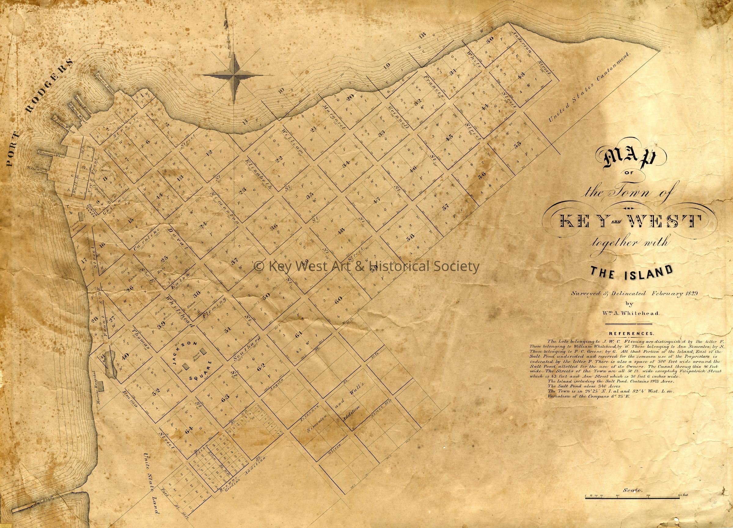
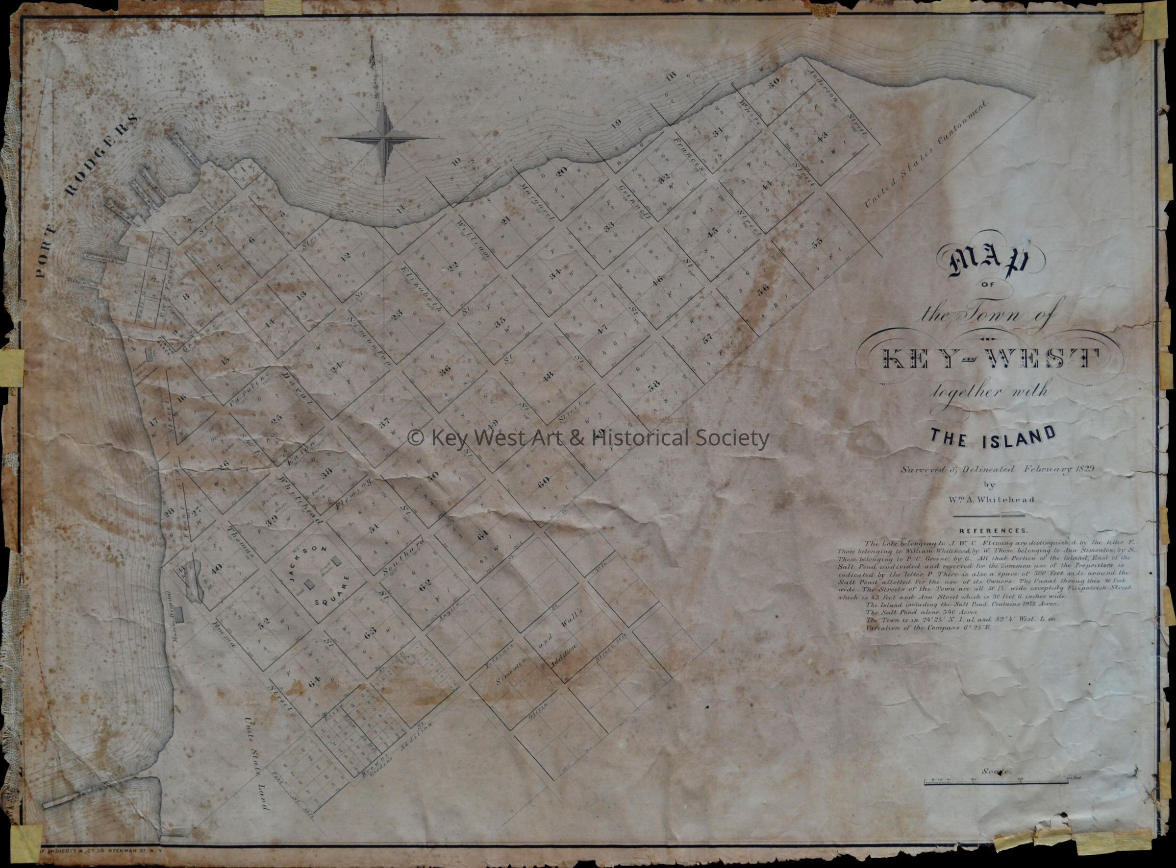
Print plat map of the town of Key West surveyed and delineated by William Whitehead. The map lays out most of the streets in Old Town and the wharves along Port Rodgers.
Collection

Artifact Collection

Lexicon

Nomenclature 4.0

Nomenclature Tertiary Object Term

Plat

Nomenclature Secondary Object Term

Map

Nomenclature Primary Object Term

Cartograph

Nomenclature Sub-Class

Graphic Documents

Nomenclature Class

Documentary Objects

Nomenclature Category

Category 08: Communication Objects

Map Details

Maker or Creator

Whitehead, William Adee

Area or Region

City

Key West

State/Province

Florida

Country

United States of America

Continent

North America

County

Monroe

Date Published

1829

Medium

Paper

Publication Language

English

Dimensions

Height

18 in

Width

24 in

Condition

Reason for Exam

At Acquisition

Overall Condition

Good