Name/Title
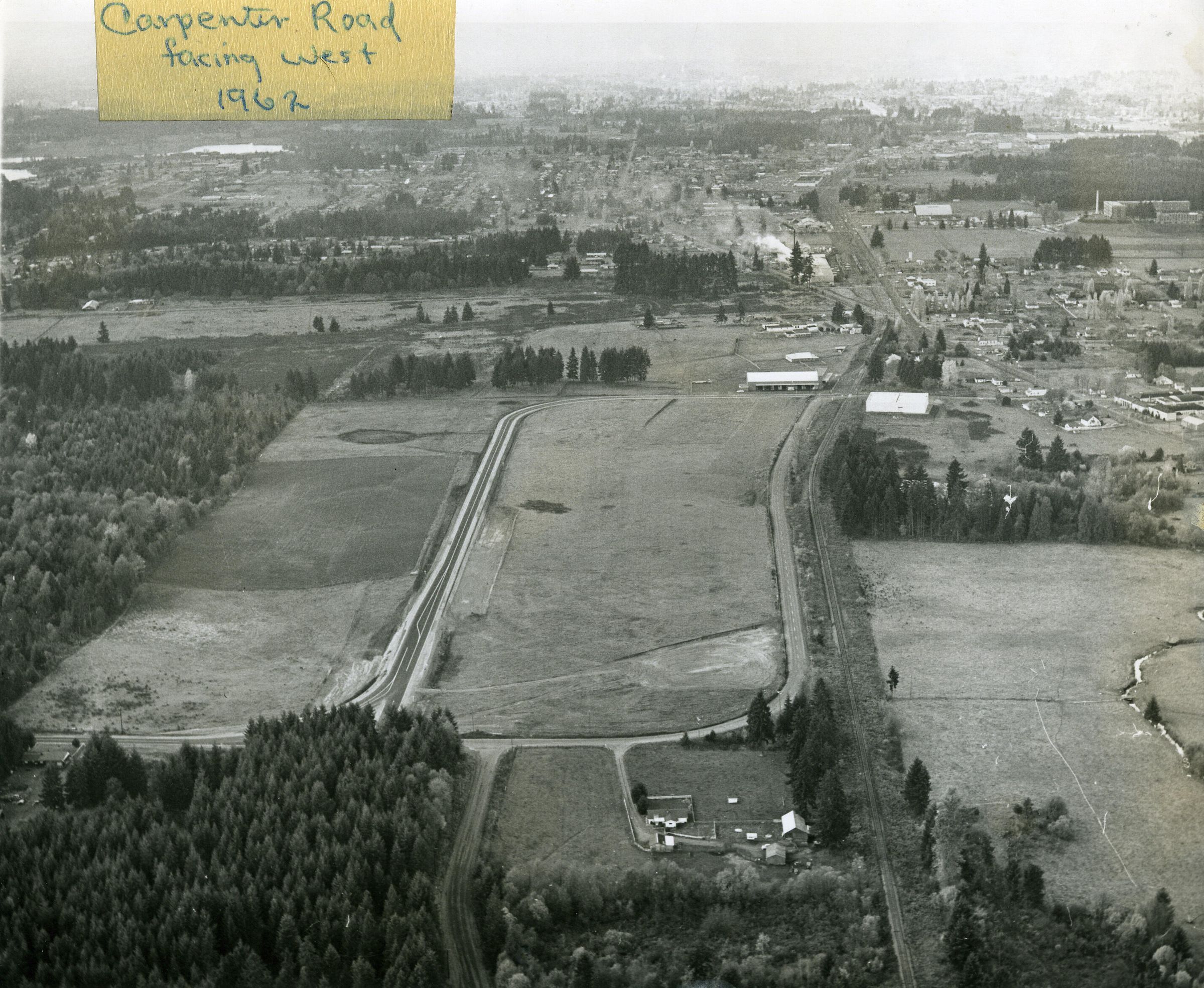
Aerial of Carpenter Road, c. 1969 (not 1962)Entry/Object ID
2010-013-0010Description
Black and white aerial photograph (scanned copy) of Carpenter Road, looking west over Lacey. As of 2021, the is where the North Thurston Public School Bus Barn is located. The railroad runs north-south through this image. The Lacey "wedge" can be seen near the top with the South Sound Shopping Center in the upper right. Saint Martin's College (now University) is off Pacific to the right (north).Made/Created
Date made
1968 - 1970Place
City
LaceyCounty
ThurstonState/Province
WashingtonCountry
United StatesContinent
North AmericaNotes
The 1960 map of Lacey shows Carpenter road still hugging the rail line, and this image shows the newly built Capital Pavilion (opened Jan 1968). The 1970 Lacey map shows Carpenter with the curve as pictured and indicates the placement of the Homann Industrial Park (not yet built in this image). Finally, the South Sound Center can be seen in the distance, which was not built until 1966.