HUB
Collections
Classifications
About
App
Blueprint
Archive
-
Lake County Historical Society
Name/Title
Blueprint
Entry/Object ID
1991.143.0687
Scope and Content
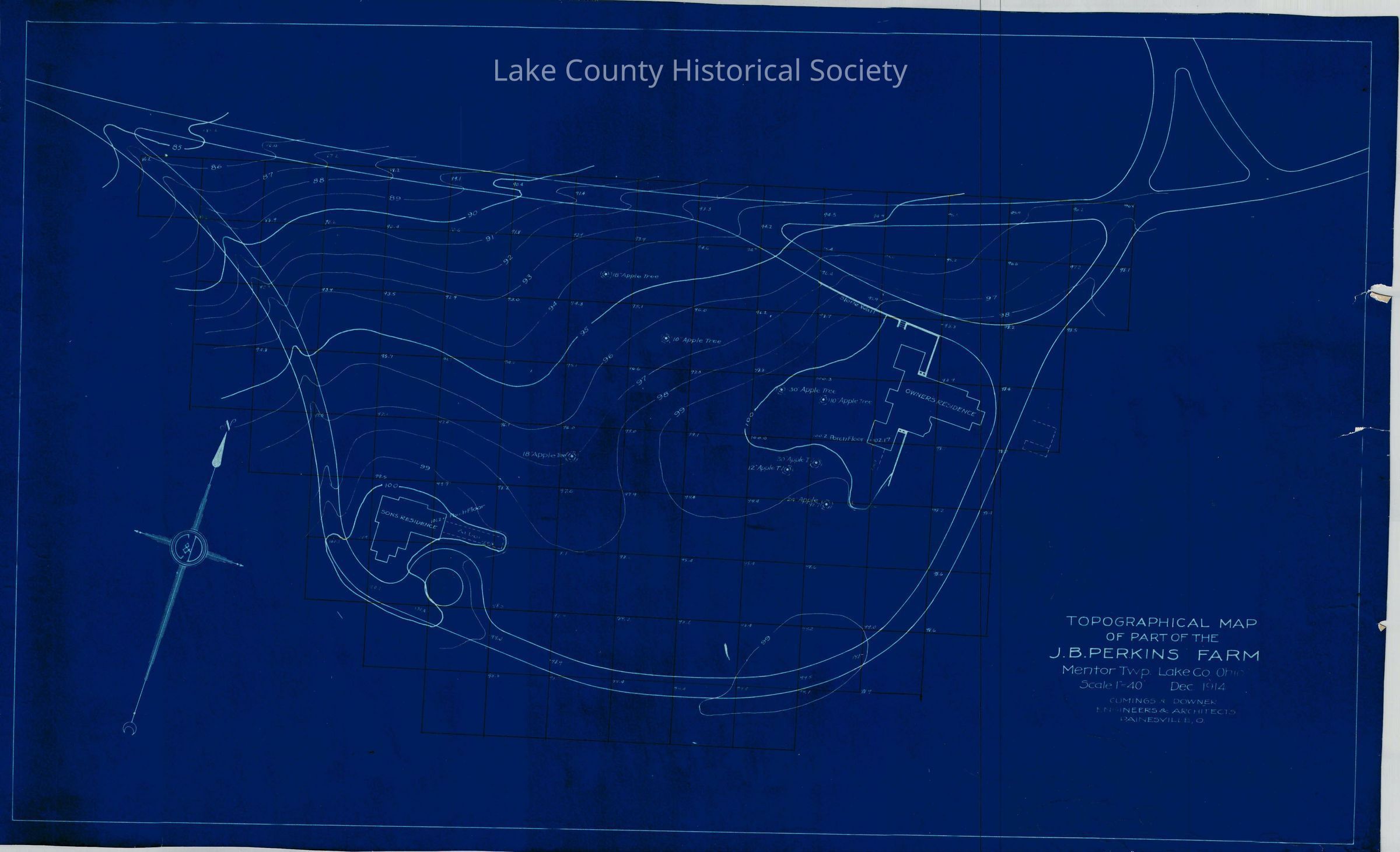
Topographical map of part of the J.B. Perkins Farm - Mentor Township * 1 paper copy * 1 paper negative copy Made by Cumings and Downer. Used by City/County Engineers and Surveyors (Painesville/Lake). Dimensions: Height 16 1/2" Length 27"
Collection
Documentary Artifacts
Lexicon
Nomenclature 4.0
Nomenclature Secondary Object Term
Blueprint
Nomenclature Primary Object Term
Copy, Reprographic
Nomenclature Sub-Class
Other Documents
Nomenclature Class
Documentary Objects
Nomenclature Category
Category 08: Communication Objects
Archive Details
Archive Notes
Early Create Date: 1914 Date(s): December, 1914
Condition
Overall Condition
Good