HUB
Collections
Classifications
About
App
Blueprint
Archive
-
Lake County Historical Society
Name/Title
Blueprint
Entry/Object ID
1991.143.0708
Scope and Content
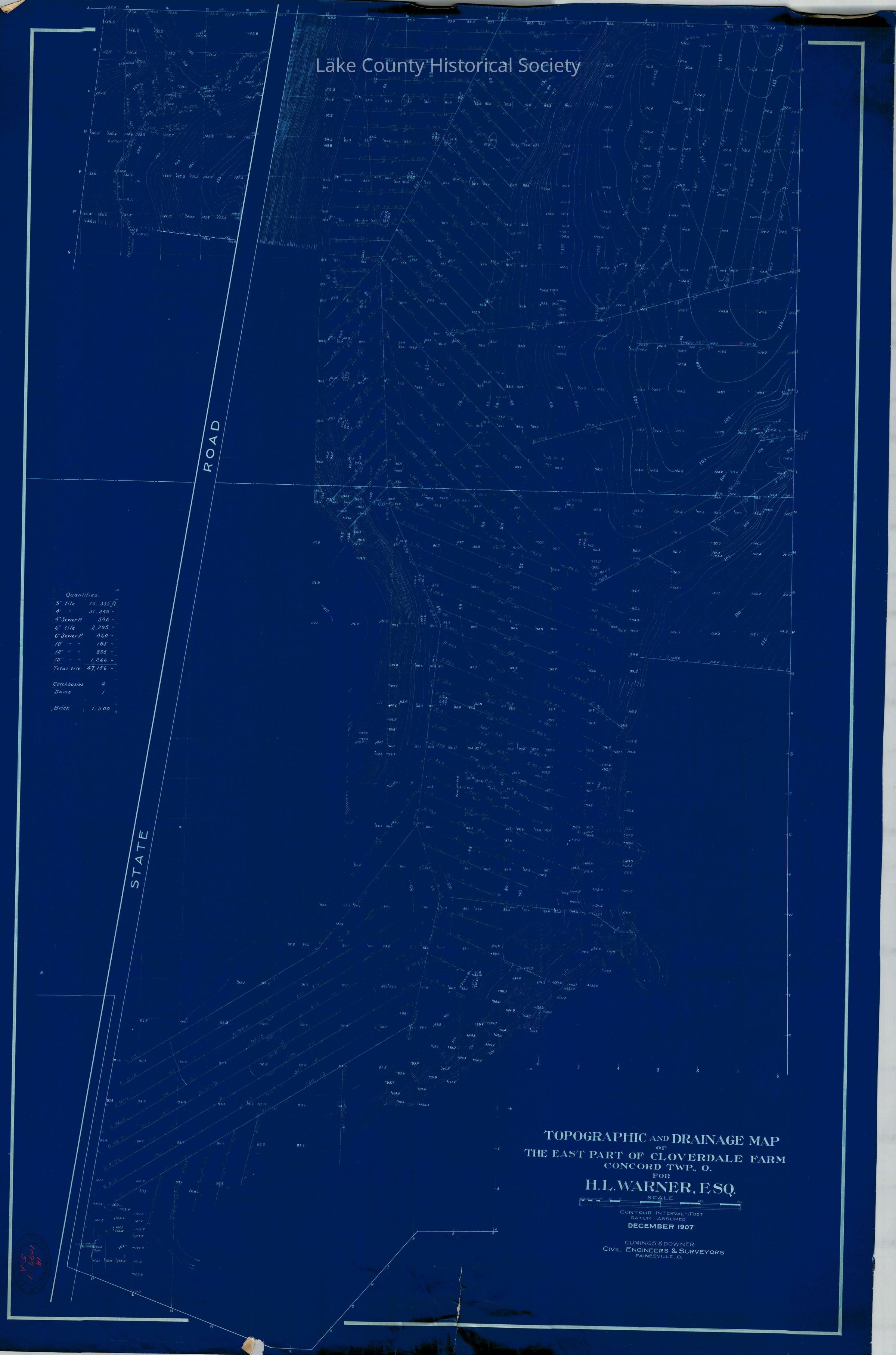
Topographic and drainage map of the East part of Cloverdale Farm, Concord Township for H. L. Warner, Esq. Made by Cumings and Downer. Used by City/County Engineers and Surveyors (Painesville/Lake). Dimensions: Height 40" Length 27"
Collection
Documentary Artifacts
Lexicon
Nomenclature 4.0
Nomenclature Secondary Object Term
Blueprint
Nomenclature Primary Object Term
Copy, Reprographic
Nomenclature Sub-Class
Other Documents
Nomenclature Class
Documentary Objects
Nomenclature Category
Category 08: Communication Objects
Archive Details
Archive Notes
Early Create Date: 1907 Date(s): December, 1907
Condition
Overall Condition
Fair