Name/Title
BlueprintEntry/Object ID
1991.143.0804Scope and Content
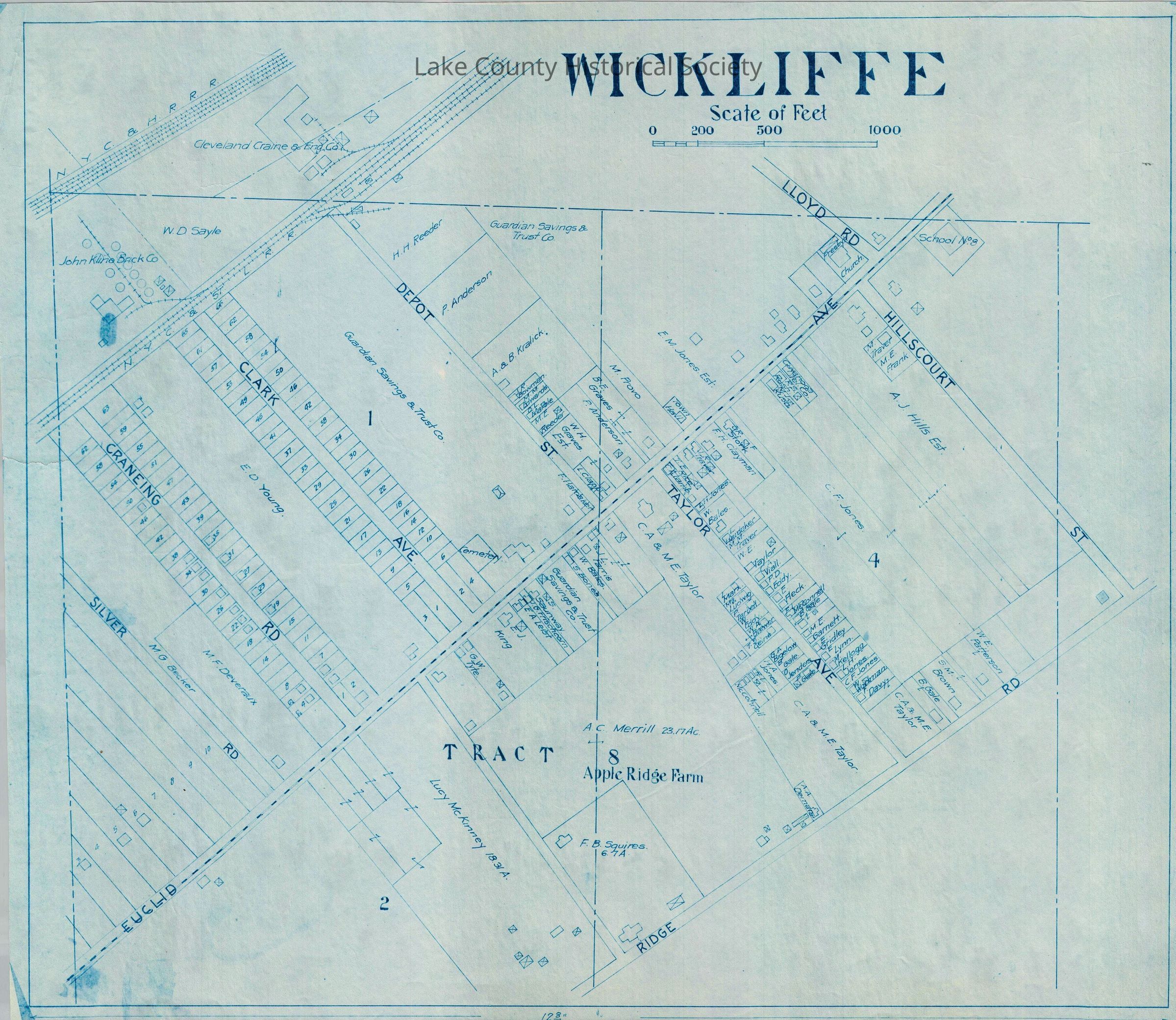
Property map of Euclid Avenue, Taylor Avenue, Hillcourt Street, Craneing Road, Clark Avenue, Depot Street area in Wickliffe
Made by Cumings and Downer. Used by City/County Engineers and Surveyors (Painesville/Lake).
Dimensions: Height 22 1/2" Length 17"Collection
Documentary ArtifactsLexicon
Nomenclature 4.0
Nomenclature Secondary Object Term
BlueprintNomenclature Primary Object Term
Copy, ReprographicNomenclature Sub-Class
Other DocumentsNomenclature Class
Documentary ObjectsNomenclature Category
Category 08: Communication ObjectsArchive Details
Archive Notes
Date(s): Unknown