HUB
Collections
Classifications
About
App
Blueprint
Archive
-
Lake County Historical Society
Name/Title
Blueprint
Entry/Object ID
1991.143.0823
Scope and Content
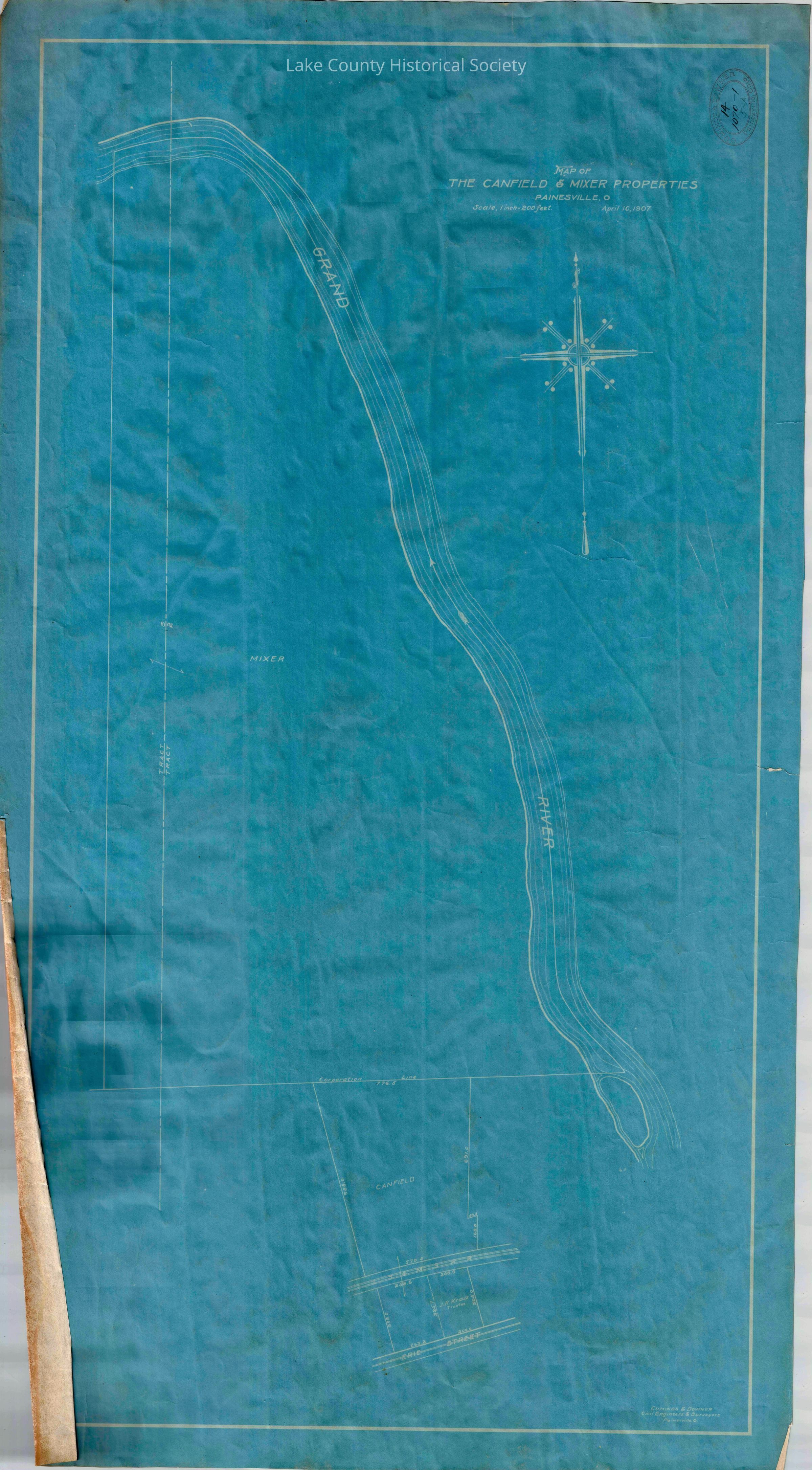
Map of the Canfield and Mixer Properties - Painesville, Ohio - along Grand River Made by Cumings and Downer. Used by City/County Engineers and Surveyors (Painesville/Lake). Dimensions: Height 36" Length 20"
Collection
Documentary Artifacts
Lexicon
Nomenclature 4.0
Nomenclature Secondary Object Term
Blueprint
Nomenclature Primary Object Term
Copy, Reprographic
Nomenclature Sub-Class
Other Documents
Nomenclature Class
Documentary Objects
Nomenclature Category
Category 08: Communication Objects
Archive Details
Date(s) of Creation
Apr 10, 1907
Archive Notes
Early Create Date: 1907
Condition
Overall Condition
Fair