Blueprint

Name/Title

Blueprint

Entry/Object ID

1991.143.0298

Scope and Content

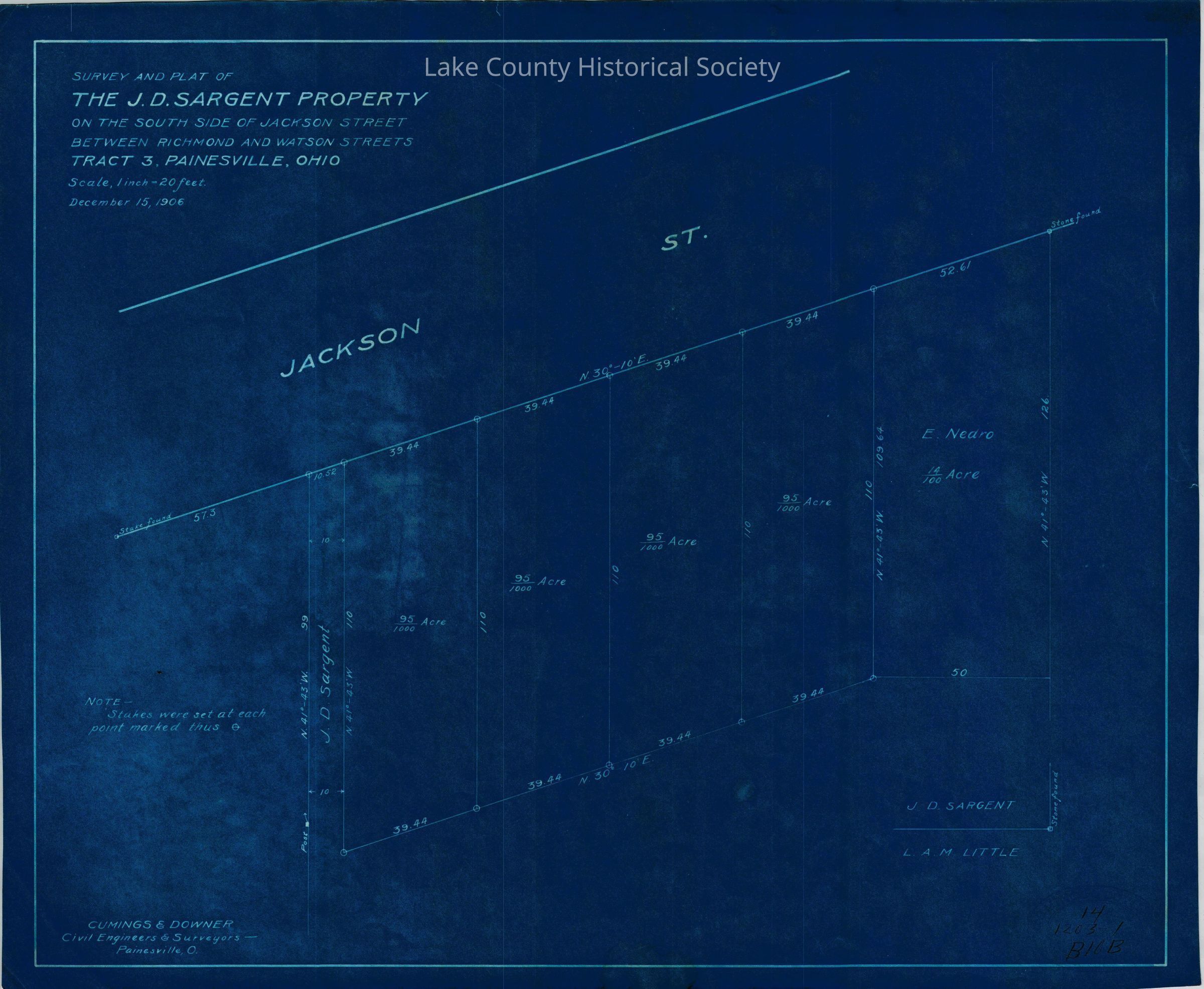
Survey and Plat of the J.D. Sargent property on the South side of Jackson Street between Richmond and Watson Street, Tract 3, Painesville Made by Cumings and Downer. Used by City/County Engineers and Surveyors (Painesville/Lake). Dimensions: Height 13" Length 17"
Collection

Documentary Artifacts

Lexicon

Nomenclature 4.0

Nomenclature Secondary Object Term

Blueprint

Nomenclature Primary Object Term

Copy, Reprographic

Nomenclature Sub-Class

Other Documents

Nomenclature Class

Documentary Objects

Nomenclature Category

Category 08: Communication Objects

Archive Details

Archive Notes

Early Create Date: 1906 Date(s): December, 1906

Condition

Overall Condition

Excellent