Name/Title
Drawing, TechnicalEntry/Object ID
1991.143.0490Scope and Content
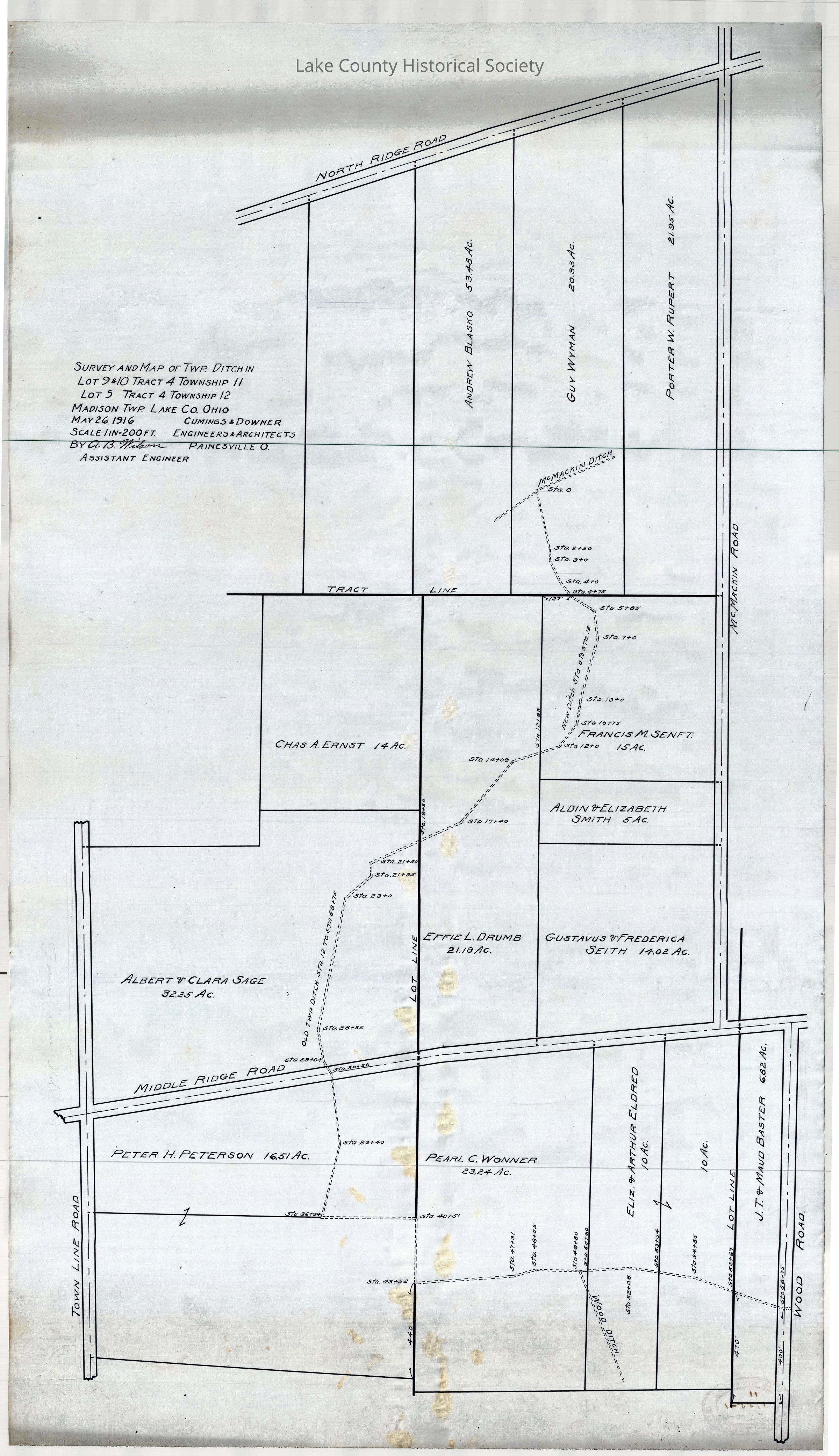
Survey and map of township ditch in Lot 9 and 10, Tract 4, Township 11 and Lot 5, Tract 4, Township 12 - Madison Township
Made by Cumings and Downer. Used by City/County Engineers and Surveyors (Painesville/Lake).
Dimensions: Height 16 1/2" Length 29 1/4"Collection
Documentary ArtifactsLexicon
Nomenclature 4.0
Nomenclature Secondary Object Term
Drawing, TechnicalNomenclature Primary Object Term
ProjectionNomenclature Sub-Class
Graphic DocumentsNomenclature Class
Documentary ObjectsNomenclature Category
Category 08: Communication ObjectsArchive Details
Date(s) of Creation
May 26, 1916Archive Notes
Early Create Date: 1916