Name/Title
Drawing, TechnicalEntry/Object ID
1991.143.0504Scope and Content
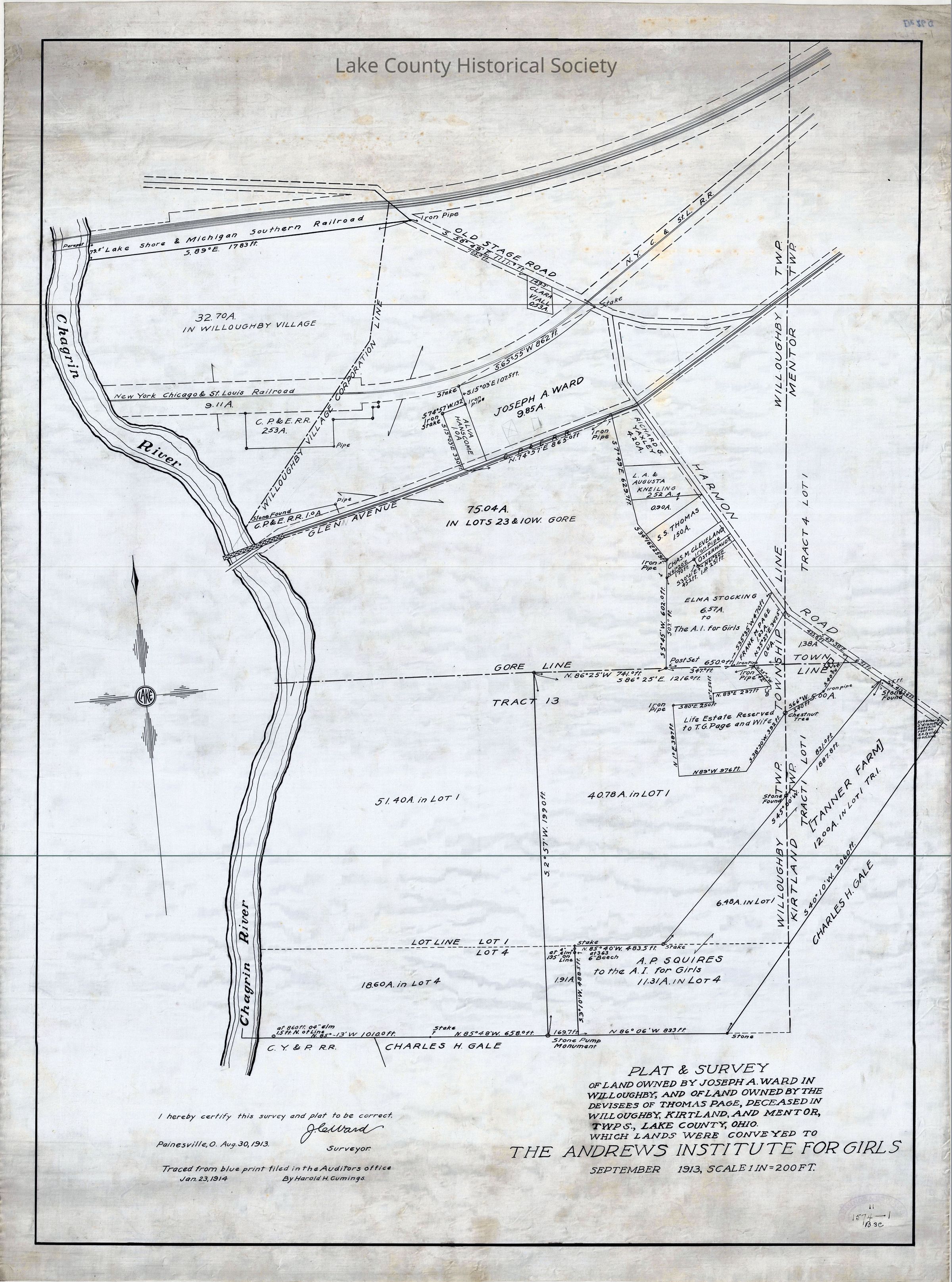
Plat and survey of land owned by Joseph A. Ward in Willoughby and of land owned by the devisees of Thomas Page. Deceased in Willoughby, Kirtland and Mentor Townships, which lands were conveyed to the Andrews Institute for Girls.
Made by Cumings and Downer. Used by City/County Engineers and Surveyors (Painesville/Lake).
Dimensions: Height 25" Length 34"Collection
Documentary ArtifactsLexicon
Nomenclature 4.0
Nomenclature Secondary Object Term
Drawing, TechnicalNomenclature Primary Object Term
ProjectionNomenclature Sub-Class
Graphic DocumentsNomenclature Class
Documentary ObjectsNomenclature Category
Category 08: Communication ObjectsArchive Details
Archive Notes
Early Create Date: 1913
Date(s): September, 1913