Drawing, Technical

Name/Title

Drawing, Technical

Entry/Object ID

1991.143.0516

Scope and Content

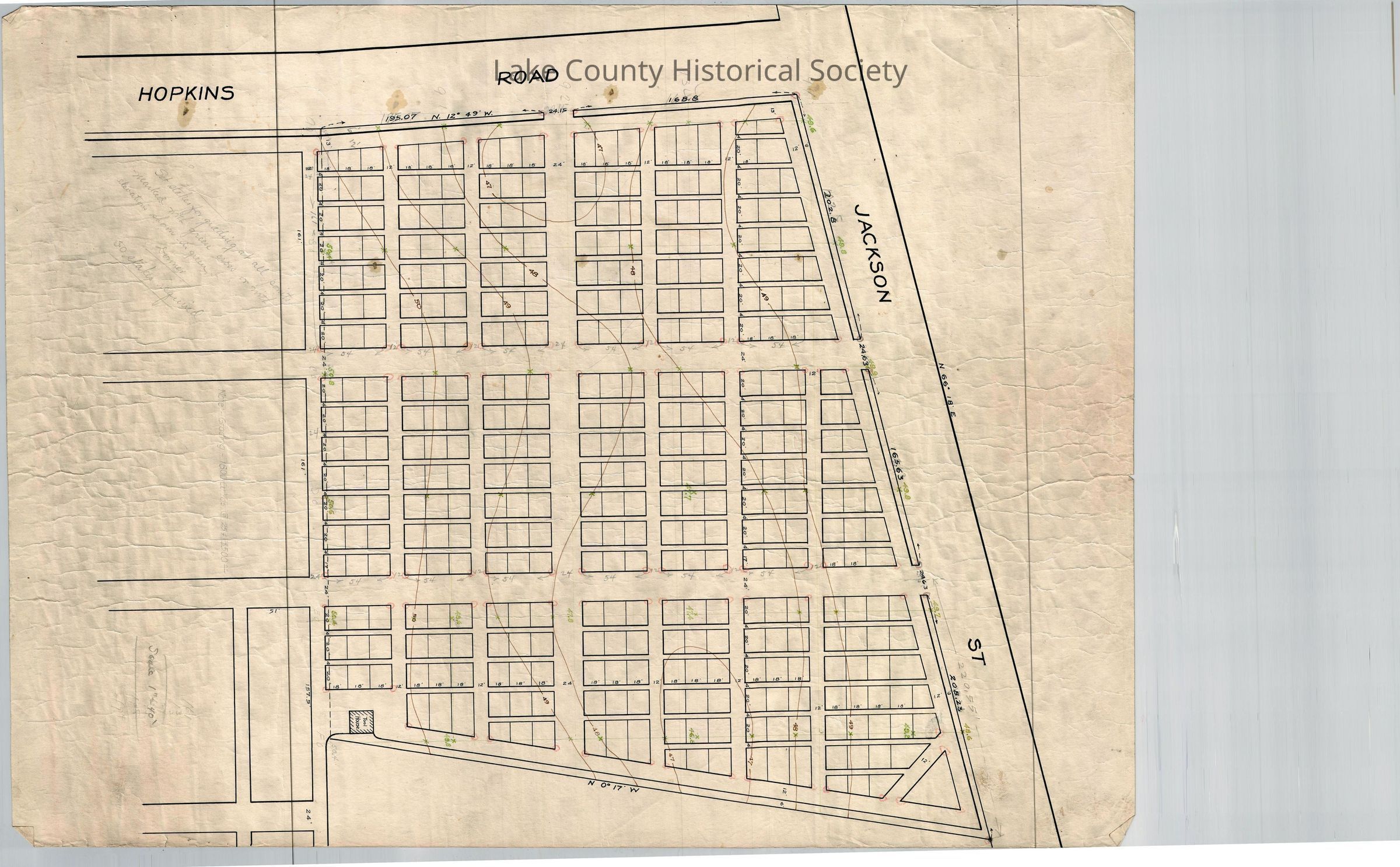
Contour map of lots at corner of Hopkins Road and Jackson Street. Note on map "set stakes for grading at all points marked with green cross or with elevations shown in green". Made by Cumings and Downer. Used by City/County Engineers and Surveyors (Painesville/Lake). Dimensions: Height 16 1/2" Length 22 1/2"
Collection

Documentary Artifacts

Lexicon

Nomenclature 4.0

Nomenclature Secondary Object Term

Drawing, Technical

Nomenclature Primary Object Term

Projection

Nomenclature Sub-Class

Graphic Documents

Nomenclature Class

Documentary Objects

Nomenclature Category

Category 08: Communication Objects

Archive Details

Archive Notes

Date(s): Unknown

Condition

Overall Condition

Fair