Drawing, Technical

Name/Title

Drawing, Technical

Entry/Object ID

1991.143.0565B

Scope and Content

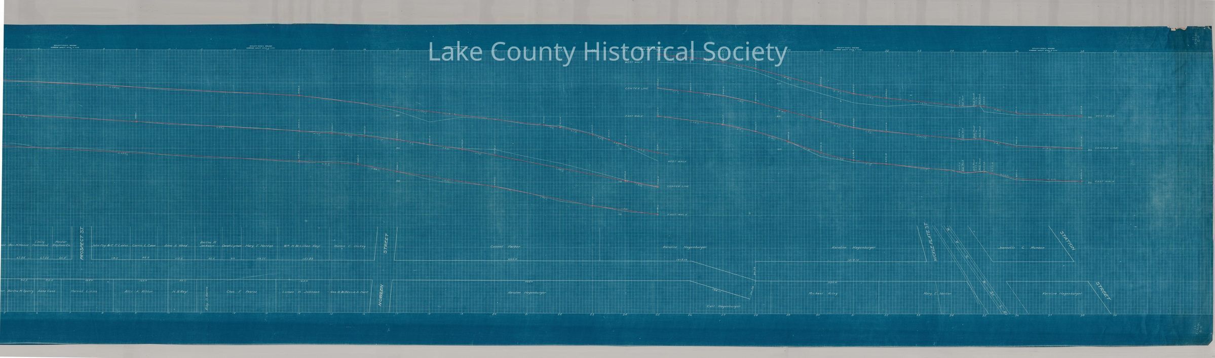
Profile of extensions of Township ditch from Elm Street to Old River Road on Bacon Farm. This map has 2 scans 1991.143.0565A and 1991.143.0565B Made by Cumings and Downer. Used by City/County Engineers and Surveyors (Painesville/Lake). Dimensions: Height 13" Length 39 1/2"
Collection

Documentary Artifacts

Lexicon

Nomenclature 4.0

Nomenclature Secondary Object Term

Drawing, Technical

Nomenclature Primary Object Term

Projection

Nomenclature Sub-Class

Graphic Documents

Nomenclature Class

Documentary Objects

Nomenclature Category

Category 08: Communication Objects

Archive Details

Archive Notes

Date(s): Unknown

Condition

Overall Condition

Good