Name/Title
Drawing, TechnicalEntry/Object ID
1991.143.0711Scope and Content
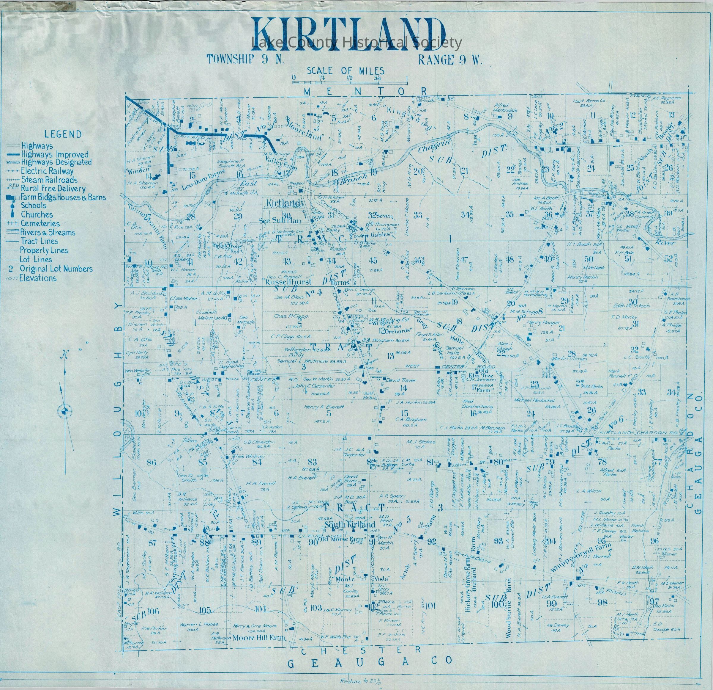
Map of Kirtland showing highways, highways improved, highways designated, electric railway, steam railroads, rural free delivery, farm building, houses and barns, churches, cemeteries, rivers and streams, tract lines, property lines, lot lines, original lot numbers, elevations.
Made by Cumings and Downer. Used by City/County Engineers and Surveyors (Painesville/Lake).
Dimensions: Height 29 1/2" Length 31 1/4"Collection
Documentary ArtifactsLexicon
Nomenclature 4.0
Nomenclature Secondary Object Term
Drawing, TechnicalNomenclature Primary Object Term
ProjectionNomenclature Sub-Class
Graphic DocumentsNomenclature Class
Documentary ObjectsNomenclature Category
Category 08: Communication ObjectsArchive Details
Archive Notes
Date(s): Unknown