HUB
Collections
Classifications
About
App
Map
Archive
-
Lake County Historical Society
Name/Title
Map
Entry/Object ID
2012.800.848.001
Scope and Content
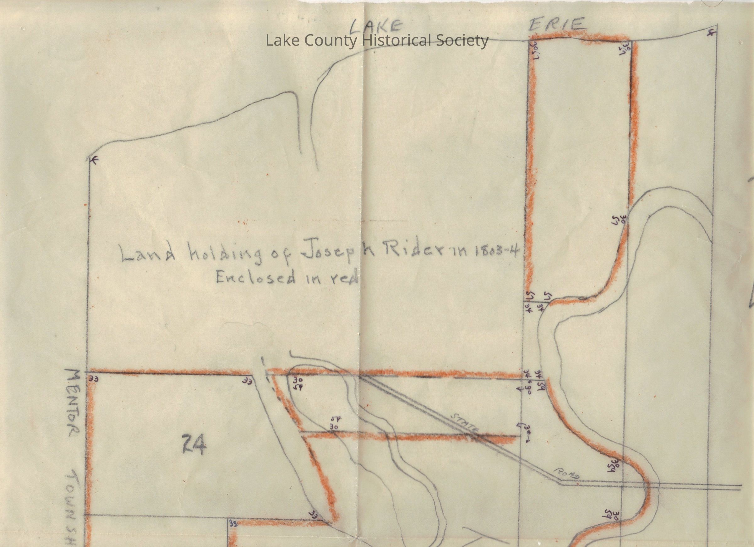
Land holding of Joseph Rider in 1803 - 1804 from Lske Erie down to Concord Township. Dimensions: Height 16 5/8" Width 13 1/2"
Collection
Documentary Artifacts
Lexicon
Nomenclature 4.0
Nomenclature Secondary Object Term
Map
Nomenclature Primary Object Term
Cartograph
Nomenclature Sub-Class
Graphic Documents
Nomenclature Class
Documentary Objects
Nomenclature Category
Category 08: Communication Objects
Archive Details
Archive Notes
Date(s): Unknown
Condition
Overall Condition
Excellent
Relationships
Related Entries
Notes
2012.800.848, 2012.800.848.002, 2012.800.848.003, 2012.800.848.004