Name/Title
Print, PhotographEntry/Object ID
P9472Description
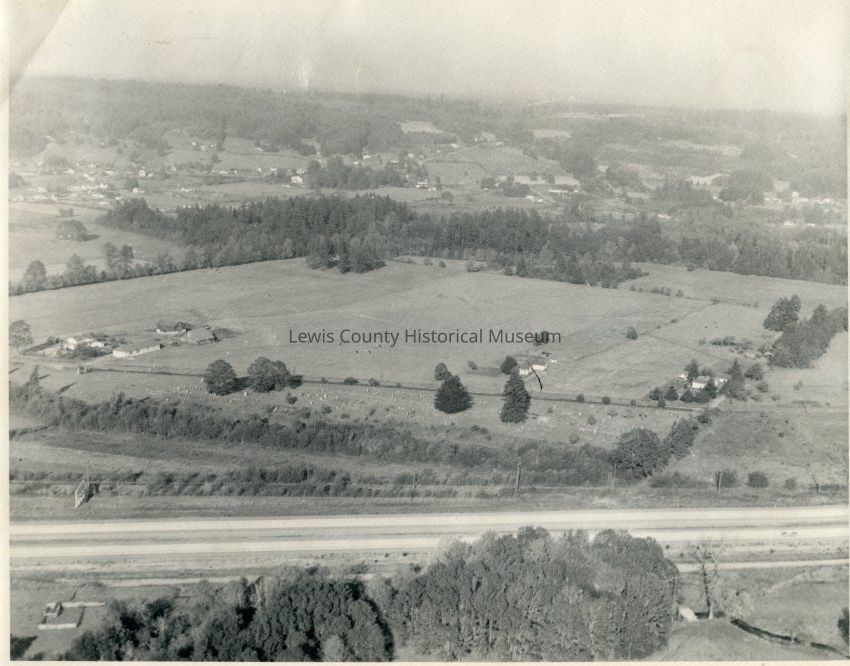
Aerial view of the Chehalis, WA area. Looking east, showing Kennicott Hill, south of Chehalis, Old Hwy. 99 cuts across center near heavy strip of trees. Bishop Road above Fern Hill Cemetery, I-5 below Fern Hill, about 1/2 mile south of Green Hill School, circa mid 1950's just after completion of I-5.Collection
Chehalis, WALexicon
Nomenclature 4.0
Nomenclature Secondary Object Term
Print, PhotographicNomenclature Primary Object Term
PhotographNomenclature Sub-Class
Graphic DocumentsNomenclature Class
Documentary ObjectsNomenclature Category
Category 08: Communication ObjectsCreate Date
August 17, 2016Update Date
September 5, 2024