Name/Title
Print, PhotographEntry/Object ID
P18170Description
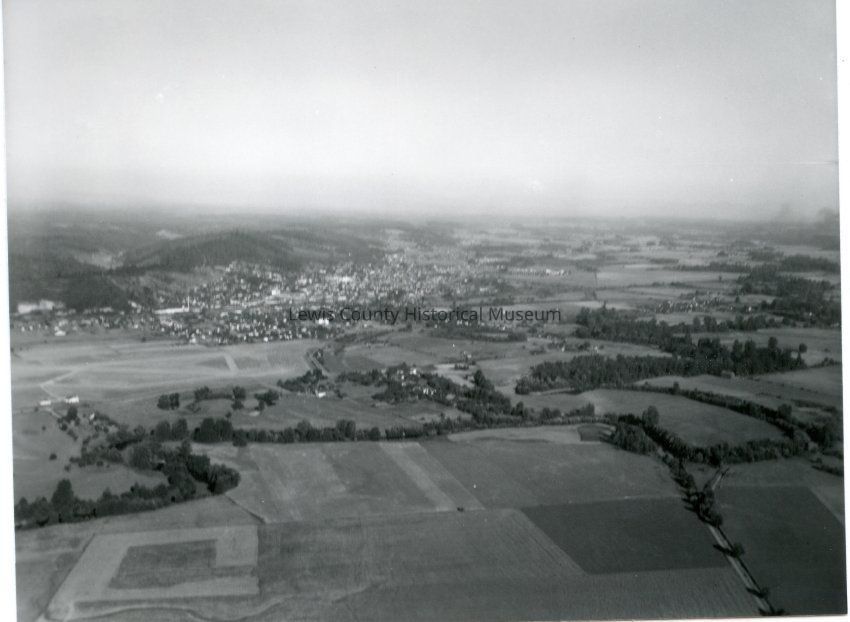
Aerial photo of West Chehalis, WA. The airport is middle left. Long white building above the airport is Milk Condensary on National Ave. Curving line of trees thru foreground is the Chehalis River snaking along and through Donahoes's golf course and property. ca. 1940Collection
Aerial Photo / Chehalis, WALexicon
Nomenclature 4.0
Nomenclature Secondary Object Term
Print, PhotographicNomenclature Primary Object Term
PhotographNomenclature Sub-Class
Graphic DocumentsNomenclature Class
Documentary ObjectsNomenclature Category
Category 08: Communication ObjectsSearch Terms
Aerial Photos, Chehalis Airport, Chehalis, WACreate Date
October 1, 2015Update Date
October 23, 2024