Name/Title
Print, PhotographEntry/Object ID
P3852Description
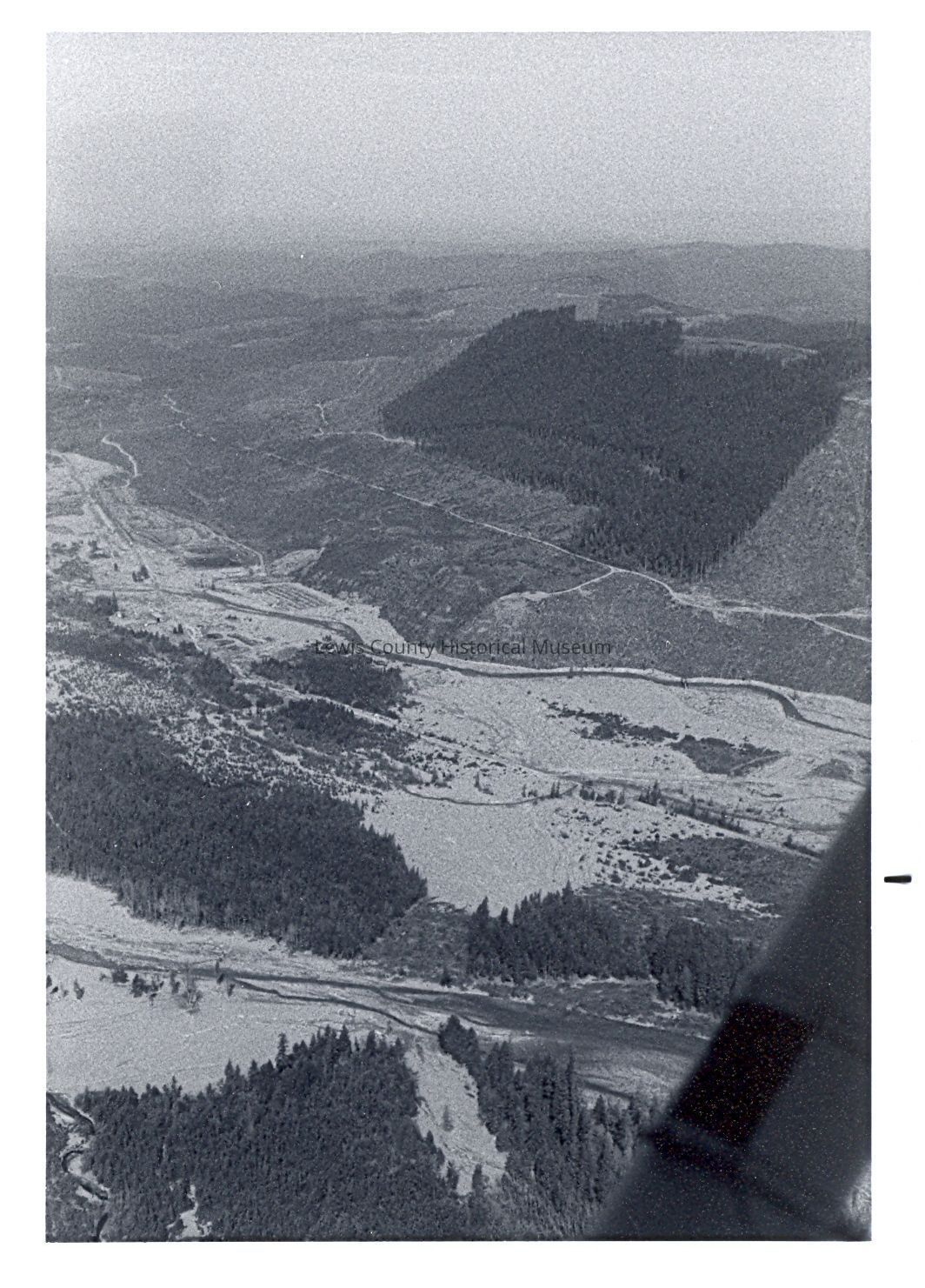
Aerial view of the destruction of the Mt. St. Helen's eruption. Shows the South Fork of the Toutle Riverbank and where the mudflow has gone. Photo taken Aug. 21,1980. Have negative.Lexicon
Nomenclature 4.0
Nomenclature Secondary Object Term
Print, PhotographicNomenclature Primary Object Term
PhotographNomenclature Sub-Class
Graphic DocumentsNomenclature Class
Documentary ObjectsNomenclature Category
Category 08: Communication ObjectsSearch Terms
Aerial Photos, Disasters - Volcanos, Negatives, Rivers - ToutleCreate Date
March 24, 2009Update Date
February 28, 2024