HUB
Collections
Classifications
About
App
Print, Photograph
Photograph
-
Lewis County Historical Museum
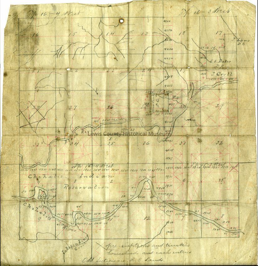
Chehalis Indian Reservation Map 1850-1860
Copyright: no; Origformat: Print-Photographic
Name/Title
Print, Photograph
Entry/Object ID
P13489
Description
Ridgeday Map of the Chehalis Indian Reservation 1850-1860 Framed
Collection
Map
Acquisition
Accession
2015.48
Lexicon
Nomenclature 4.0
Nomenclature Secondary Object Term
Print, Photographic
Nomenclature Primary Object Term
Photograph
Nomenclature Sub-Class
Graphic Documents
Nomenclature Class
Documentary Objects
Nomenclature Category
Category 08: Communication Objects
Search Terms
Chehalis Indian Reservation,
Maps
Maintenance
Maintenance History
Date
Aug 29, 2018
Created By
[email protected]
Create Date
August 29, 2018
Updated By
[email protected]
Update Date
August 28, 2024