Name/Title
Print, PhotographEntry/Object ID
P9469Description
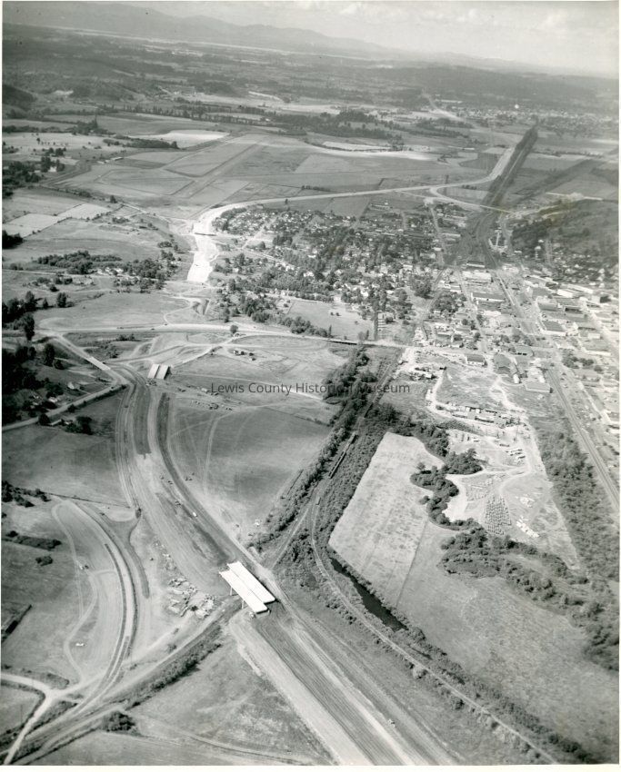
Clear aerial photo showing the construction of Interstate 5 thru the Chehalis area. Looking north of west side Chehalis, early 1950's. Top center is the Chehalis/Centralia County Airport, National Avenue can be seen. Across center is Main Street, Mainline RR tracks go diagonally bottom left to top right.Collection
Chehalis, WALexicon
Nomenclature 4.0
Nomenclature Secondary Object Term
Print, PhotographicNomenclature Primary Object Term
PhotographNomenclature Sub-Class
Graphic DocumentsNomenclature Class
Documentary ObjectsNomenclature Category
Category 08: Communication ObjectsSearch Terms
Chehalis - Businesses, Chehalis, WA, Highway I-5, Highway ConstructionCreate Date
January 26, 2016Update Date
July 25, 2024