HUB
Collections
Classifications
About
App
Print, Photograph
Photograph
-
Lewis County Historical Museum
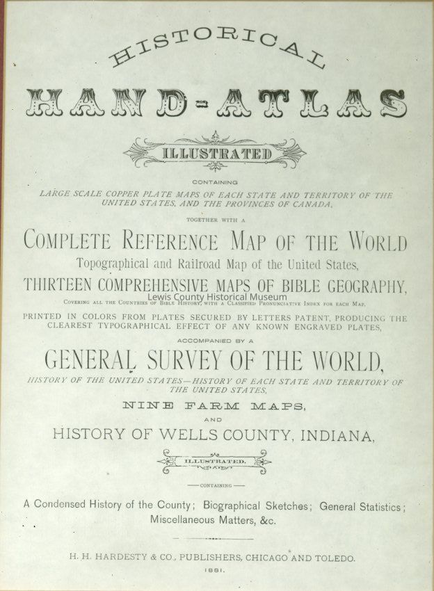
Historical Hand-Atlas 1881
Copyright: no; Origformat: Print-Photographic
Name/Title
Print, Photograph
Entry/Object ID
P13494
Description
Historical Hand-Atlas, Illustrated 1881. A Map of Washington State (Territory) in 1881 U. S. Census of 1880 Framed 21" x 39"
Acquisition
Accession
2013.51
Lexicon
Nomenclature 4.0
Nomenclature Secondary Object Term
Print, Photographic
Nomenclature Primary Object Term
Photograph
Nomenclature Sub-Class
Graphic Documents
Nomenclature Class
Documentary Objects
Nomenclature Category
Category 08: Communication Objects
Search Terms
Historical Information 1881
Maintenance
Maintenance History
Date
Aug 29, 2018
Created By
[email protected]
Create Date
August 29, 2018
Updated By
[email protected]
Update Date
May 14, 2026