Name/Title
SlideEntry/Object ID
P26081Description
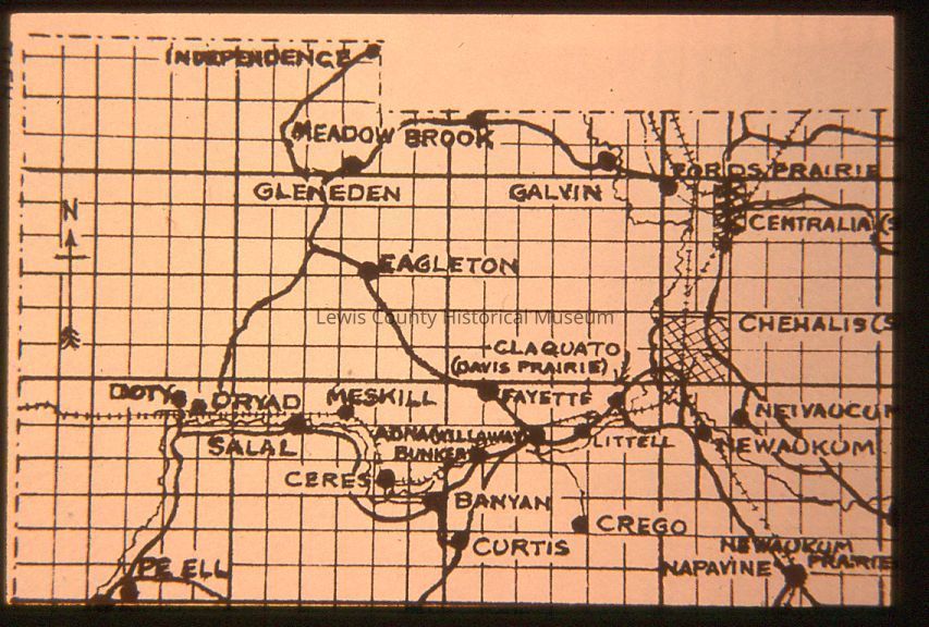
Hand drawn map of west Lewis County, date unknown
4 copies of same slide
Map shows: Independence, Meadow Brook, Gleneden, Galvin, Fords Prairie, Centralia, Eagleton, Claquate (Davis Prairie), Fayette, Chehalis, Doty, Dryad, Meskill, Newaucum, Salel, Ceres, Adna (Willaway), Littell, Newaukum, Bunker, Banyan, Crego, Curtis, Napavine, Newaukum Prairie, Pe Ell.
2nd slide: adds Hurn, Mendota, Centralia (Skookumchuck), Kopiah, Chehalis (Saunders Prairie), Agate, Forest (New Alpha), Sharon, Knab, Onalaska, Klaber, Eveline, Highland, Rankin, Ethel. (7 copies of slide)Lexicon
Nomenclature 4.0
Nomenclature Secondary Object Term
SlideNomenclature Primary Object Term
Device, PlaygroundNomenclature Class
Recreational DevicesNomenclature Category
Category 09: Recreational ObjectsSearch Terms
Hand-drawn Maps, Lewis County, Maps, SlidesCreate Date
December 1, 2021Update Date
February 11, 2023