Name/Title
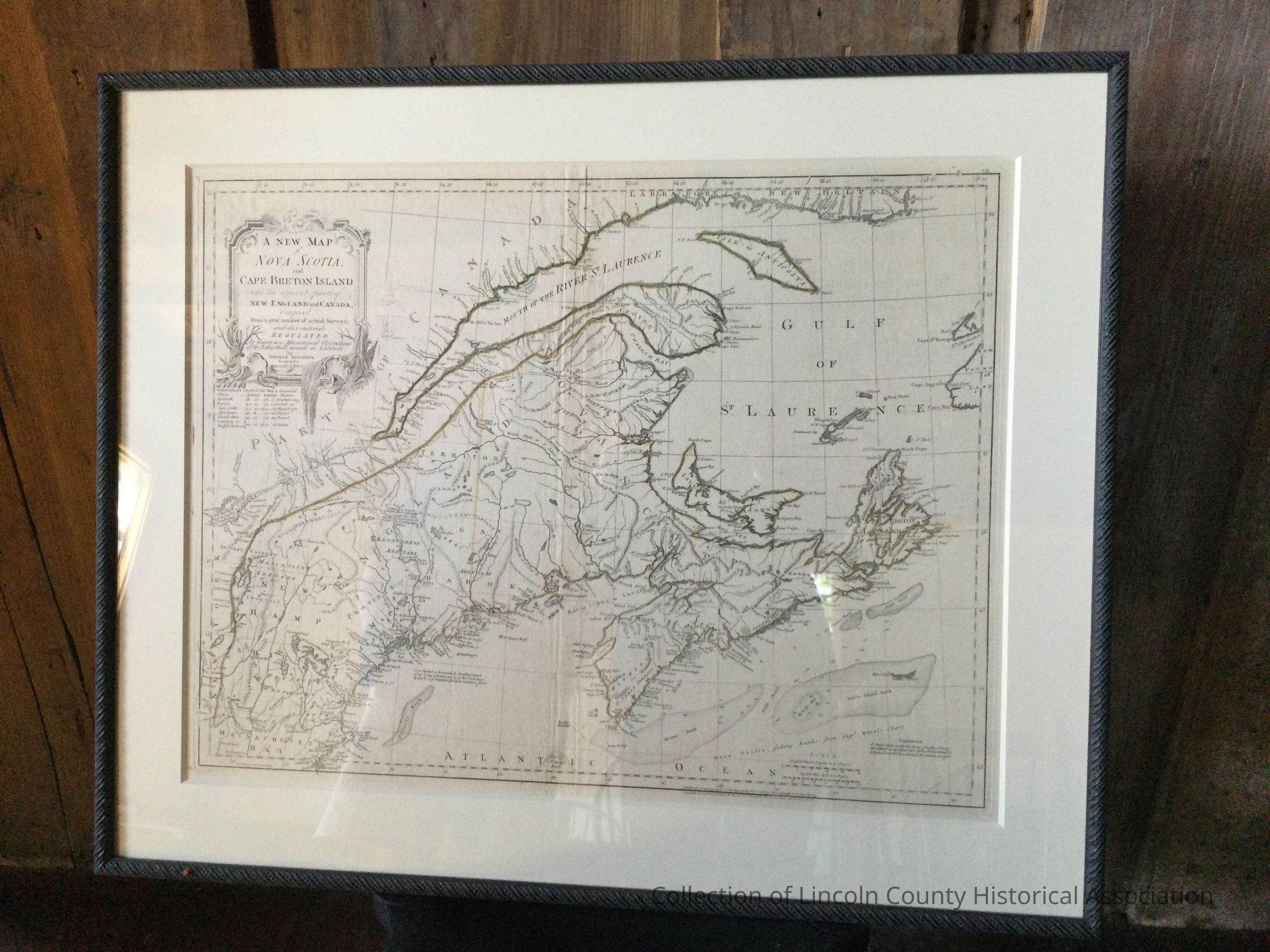
Map of the Gulf of Maine to Cape AnneDescription
Map of the Gulf of the Saint Lawrence to the Gulf of Maine to Cape Anne. Is hand-colored.Artwork Details
Medium
EngravingSubject
Segment of the eastern coast of North America from the Saint Lawrence to Cape AnneMade/Created
Date made
1775 - 1775Time Period
18th CenturyDimensions
Dimension Description
PlatemarkHeight
48 cmWidth
63 cmDimension Description
FrameHeight
65 cmWidth
80 cm