HUB
Collections
Classifications
About
App
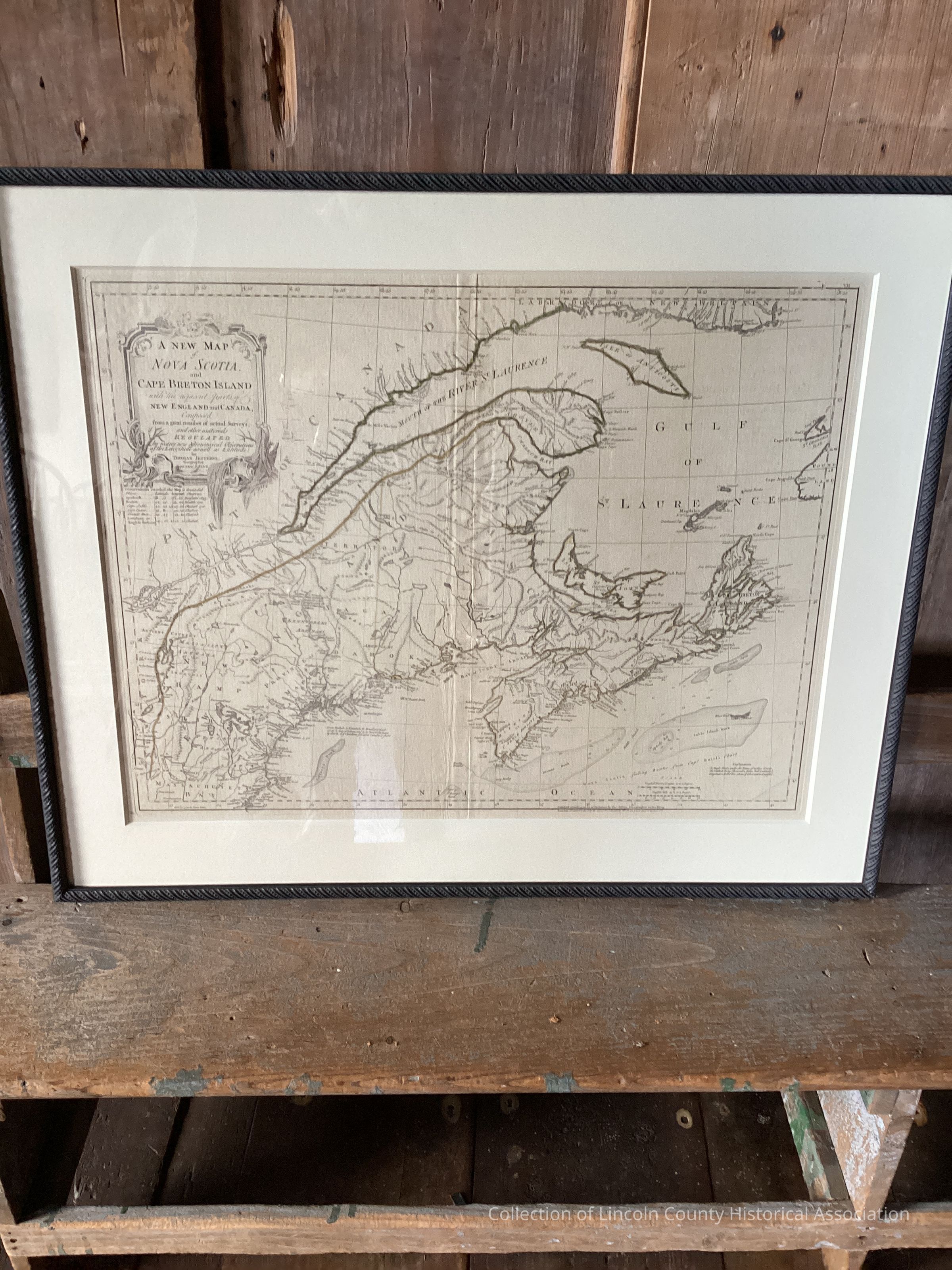
Map of the Coast of Maine from the Kennebec River to the West Coast of Muscongus Bay to Round Pond
Art
-
Lincoln County Historical Association
Name/Title
Map of the Coast of Maine from the Kennebec River to the West Coast of Muscongus Bay to Round Pond
Description
Map of the Coast of Maine from the Kennebec River to the West Coast of Muscongus Bay to Round Pond
Artwork Details
Medium
Paper
Subject
Cartographical map of the Coast of Maine from the Kennebec River to Muscongus Bay
Made/Created
Artist Information
Artist
George Sproule
Role
Cartographer and British military officer
Date made
1772 - 1772
Time Period
18th Century
Place
Region
Northeast
Continent
North America
Notes
This map is a facsimile of the original now in the British Museum in London, England.
Dimensions
Dimension Description
Sight Size
Height
117.1 cm
Width
69.2 cm
Condition
Overall Condition
Excellent