HUB
Collections
Classifications
About
App
Map of the Gulf of Maine to Cape Anne
Art
-
Lincoln County Historical Association
Name/Title
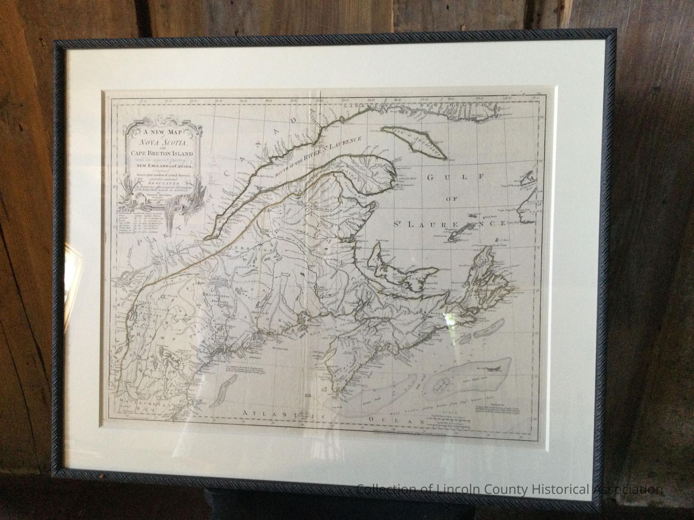
Map of the Gulf of Maine to Cape Anne
Description
Map of the Gulf of the Saint Lawrence to the Gulf of Maine to Cape Anne. Is hand-colored.
Artwork Details
Medium
Engraving
Subject
Segment of the eastern coast of North America from the Saint Lawrence to Cape Anne
Subject Place
Continent
North America
Made/Created
Artist
Thomas Jeffreys
Date made
1775 - 1775
Time Period
18th Century
Dimensions
Dimension Description
Platemark
Height
48 cm
Width
63 cm
Dimension Description
Frame
Height
65 cm
Width
80 cm
Color
Black,
Yellow
Condition
Overall Condition
Good