Name/Title
Map of Clay TownshipEntry/Object ID
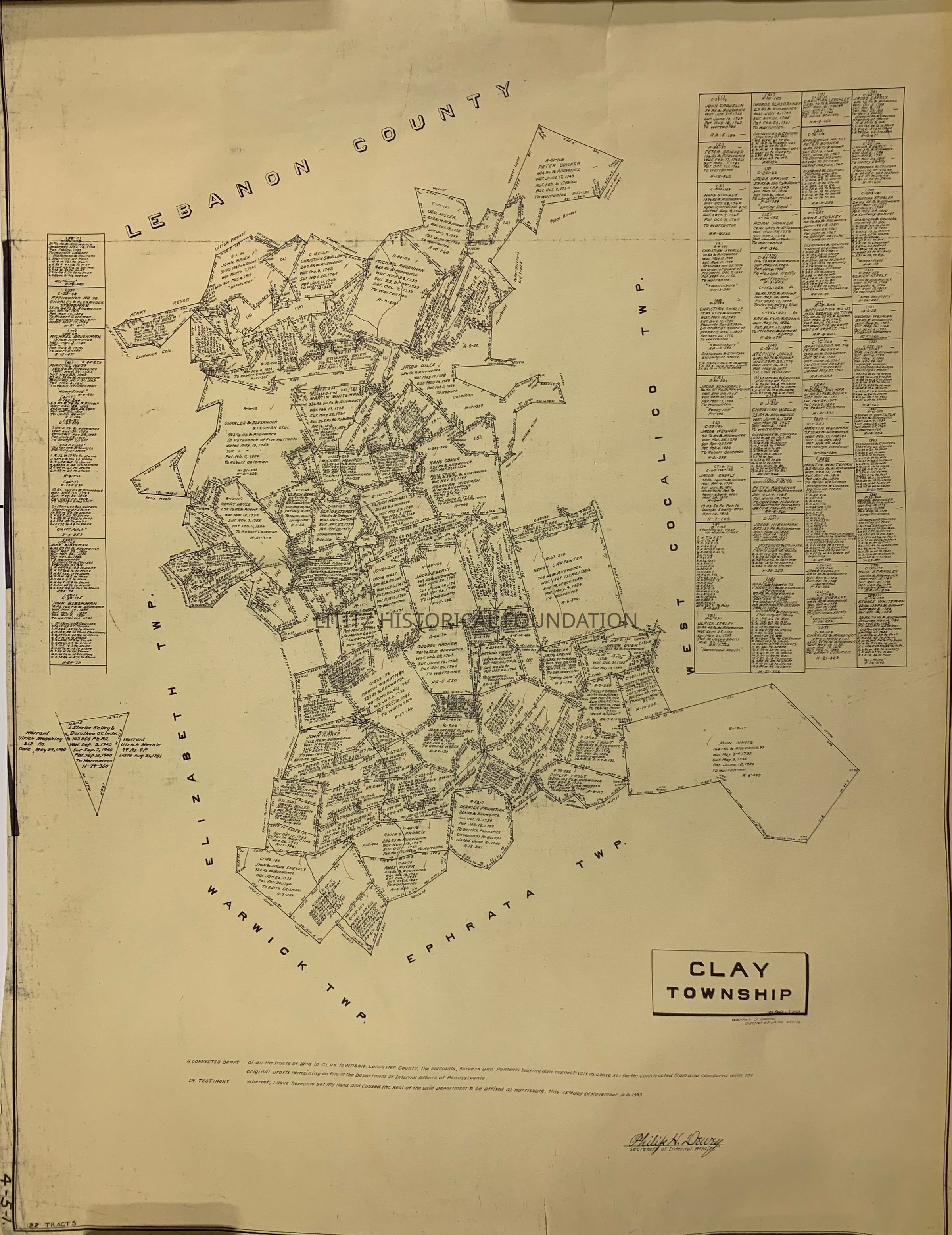
2023.17.9Description
Shows the location of 22 tracts with the dates of survey, patent filing, and recordingCollection
Gary T. Hawbaker CollectionMap Details
Maker or Creator
Pennsylvania Department of Internal AffairsScale
100 rods per inchArea or Region
Township
Clay TownshipState
PennsylvaniaCountry
United StatesContinent
North AmericaPlace Published
City
HarrisburgState
PennsylvaniaCountry
United StatesContinent
North AmericaDate Published
Jun 6, 1934Time Period
20th CenturyPlace Printed
City
HarrisburgState
PennsylvaniaCountry
United StatesContinent
North AmericaPublication Language
EnglishMap Notes
Map shows warrants, surveys and patents for 122 tracts of land.Dimensions
Height
45-1/2 inWidth
35-5/8 inCreate Date
December 6, 2023Update Date
March 19, 2024