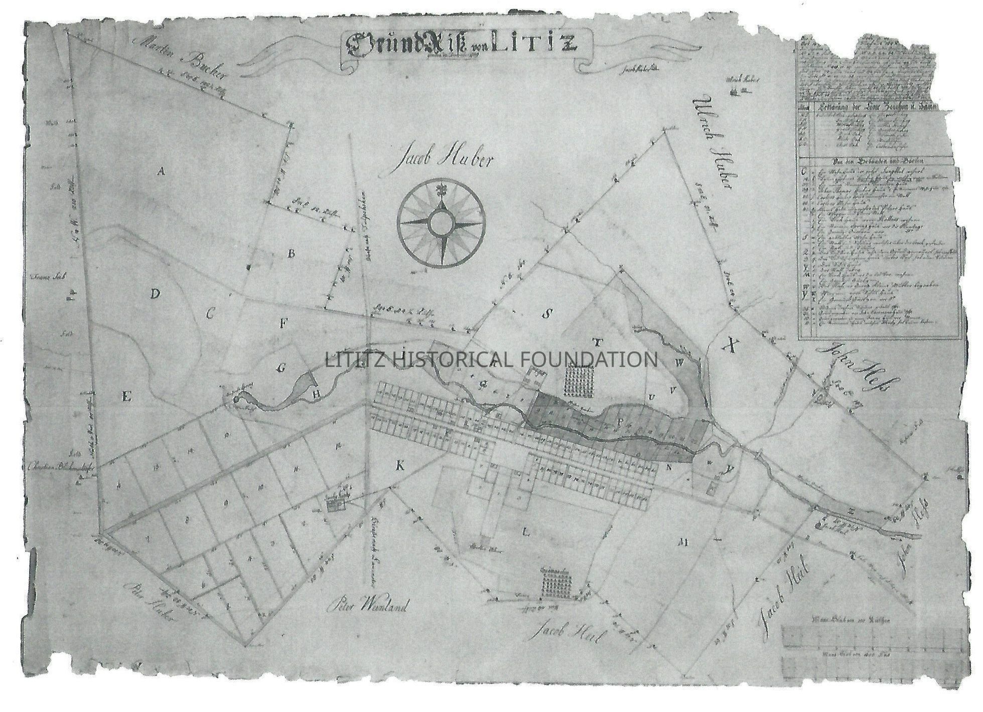
Map of Litiz, 1759

Photograph copy of a map of Lititz in 1759

Photograph copy of a map of Lititz in 1759

Name/Title

Map of Litiz, 1759

Entry/Object ID

2024.0.13

Description

This is a photograph of a map drawn in December 1759. It shows the lots along what is now Main Street and the major property owners around Lititz

Collection

Maps

Category

Maps

Map Details

Area or Region

City

Lititz

State

Pennsylvania

Country

United States

Continent

North America

Date Published

circa 1759

Time Period

18th Century

Publication Language

German

Dimensions

Height

8-1/2 in

Width

11 in

Create Date

June 15, 2024

Update Date

June 15, 2024