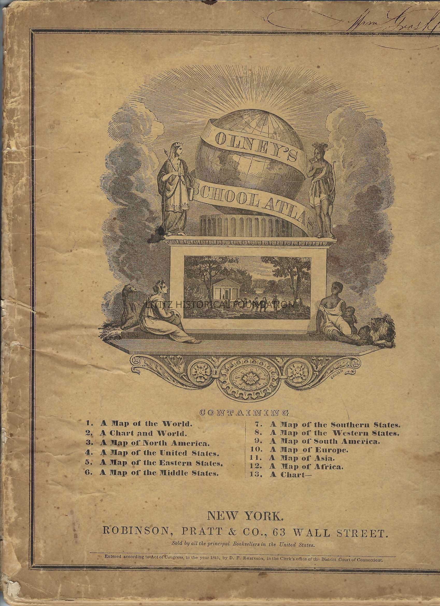
Olney’s School Atlas
Name/Title

Olney’s School Atlas

Entry/Object ID

2009.0.11

Description

The atlas features 12 maps, including a map of the world, five maps of regions in the United States, and 4 maps of South America, Europe, Asia, and Africa. There are also two charts with statistical information. The maps are printed on only one side of a page.

Category

Atlas

Dimensions

Height

11-5/8 in

Width

1/4 in

Length

9-5/8 in

Book Details

Author

Jesse Olne

Publisher

Robinson, Pratt & Co.

Place Published

City

New York City

State

New York

Country

United States

Continent

North America

Date Published

circa 1841

Time Period

19th Century

Publication Language

English

Publication Subjects

Maps

Create Date

February 18, 2024

Update Date

February 21, 2024