HUB
Collections
Classifications
About
App
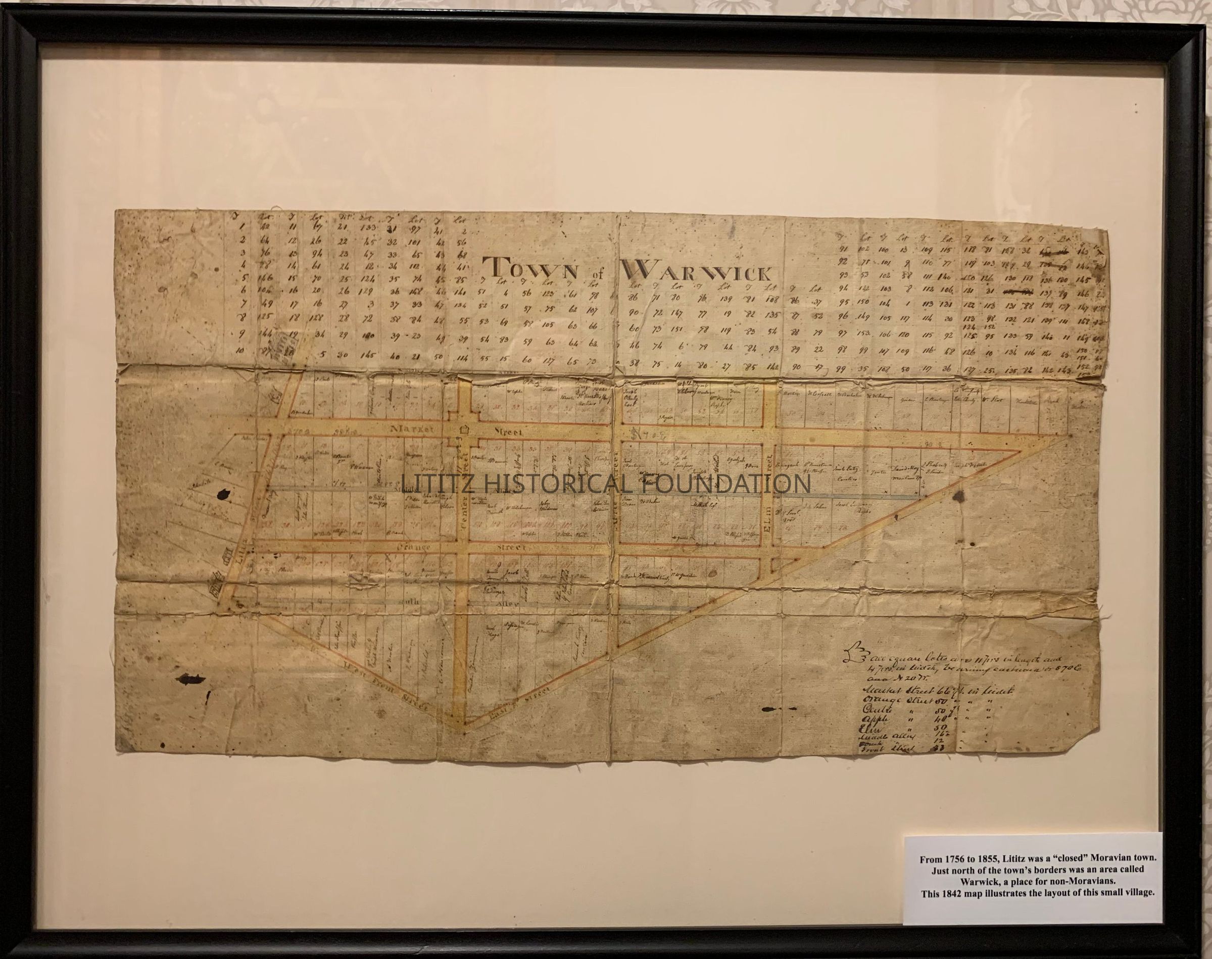
Town of Warwick, plot map
Map
-
Lititz Historical Foundation
Framed
Name/Title
Town of Warwick, plot map
Entry/Object ID
2006.0.59
Description
This 1842 map of the town of Warwick shows streets and lots north of present day Lititz creek. At this time, Warwick and Lititz were two separate villages.
Collection
Maps
Category
Maps,
Lititz History
Map Details
Area or Region
City
Lititz
State
Pennsylvania
Country
United States
Continent
North America
Place Published
City
Lititz
State
Pennsylvania
Country
United States
Continent
North America
Date Published
circa 1842
Time Period
19th Century
Date Printed
circa 1842
Publication Language
English
Dimensions
Dimension Description
Framed map
Height
20-7/8 in
Width
26-1/2 in
Dimension Description
Image
Height
11 in
Width
21-3/4 in
Create Date
June 11, 2024
Update Date
June 11, 2024