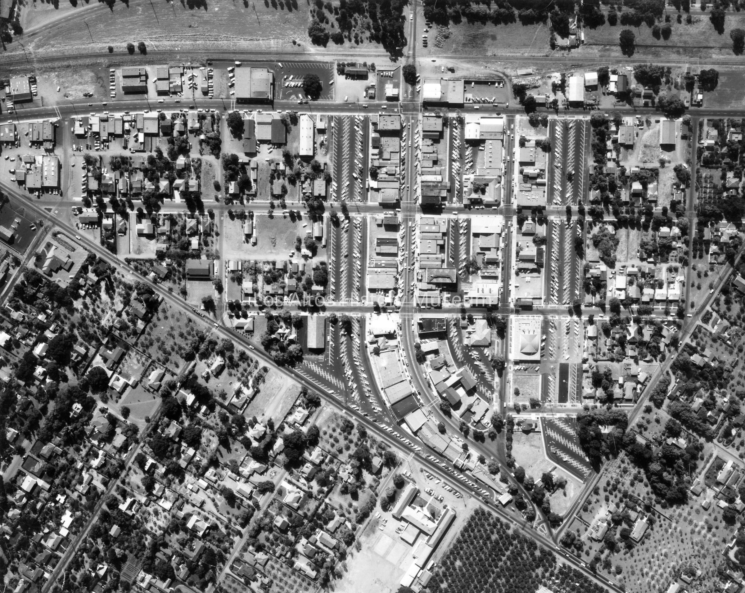
Aerial photograph of the Los Altos downtown triangle. The train tacks (where Foothill Expressway is now) are visible at the top of the photograph. The triangle is made up of San Antonio Road, First street and West Edith. Some orchards are visible around the perimeter of the triangle. Parking lots have appeared where homes were situated in the 1956 aerial photo (2012.021.001).