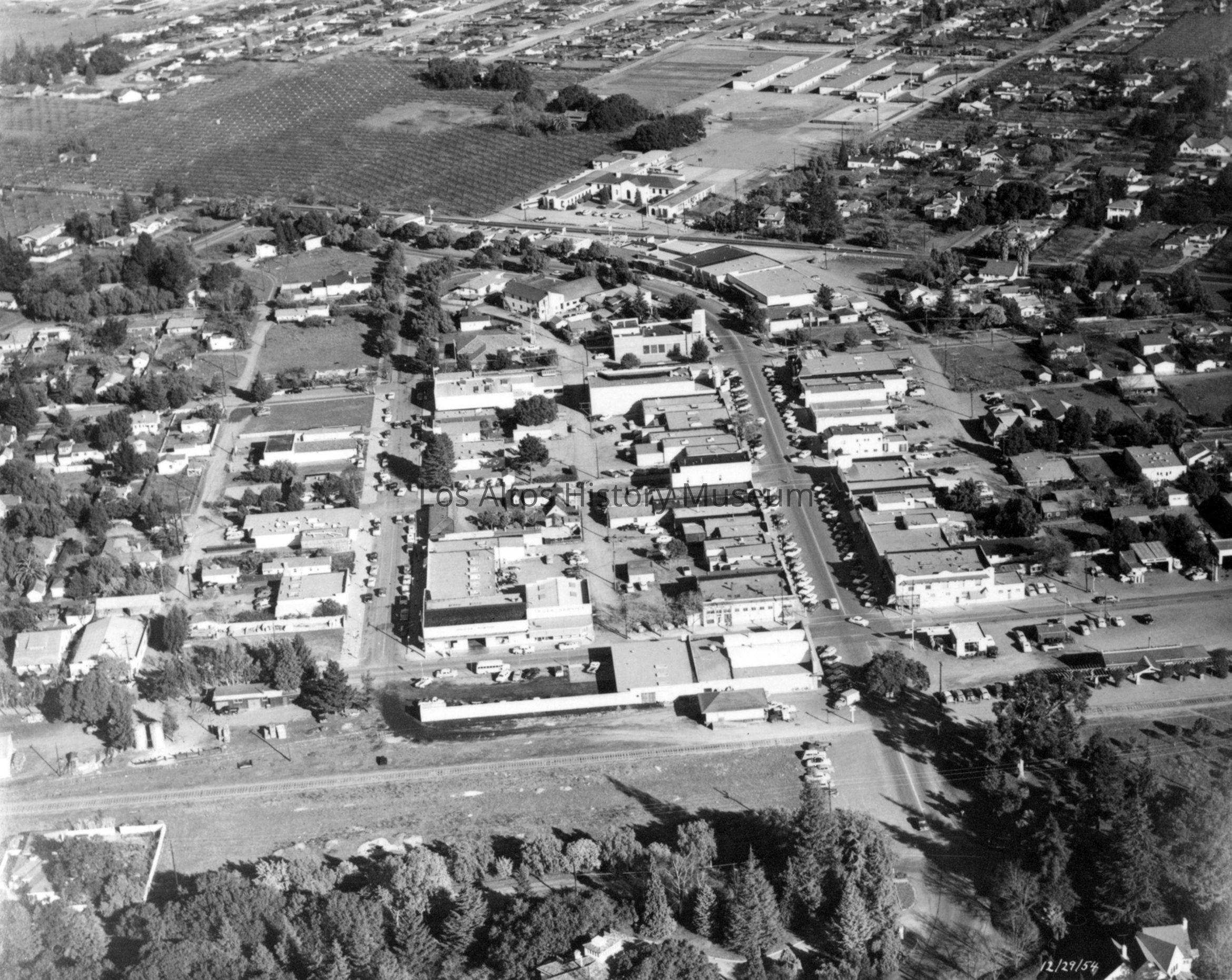
Main Street, State Street, and San Antonio Road, 1954
Name/Title
Aerial of Main Street, State Streets, and San Antonio Road
Entry/Object ID
1960.000.013
Description
Aerial photographic view of downtown Los Altos from the west looking toward the east including the intersections of Main and State Streets with San Antonio Road.
The J Gilbert Smith Orchard (future site of the Los Altos Civic Center and History Museum), San Antonio Grammar School, Hillview School and houses fill the upper fourth and of the photograph. Trees from the "Old Los Altos" neighborhood west of downtown can be seen in the foreground. The railroad right of way separates the town from the neighborhood. Houses and small businesses occupy the left and right sides of the photograph. First Street parallels the right of way, Main Street with diagonally parked cars merges into San Antonio Road on the center right while State Street intersects Main in the upper center left. Downtown buildings fill the middle of the photograph.