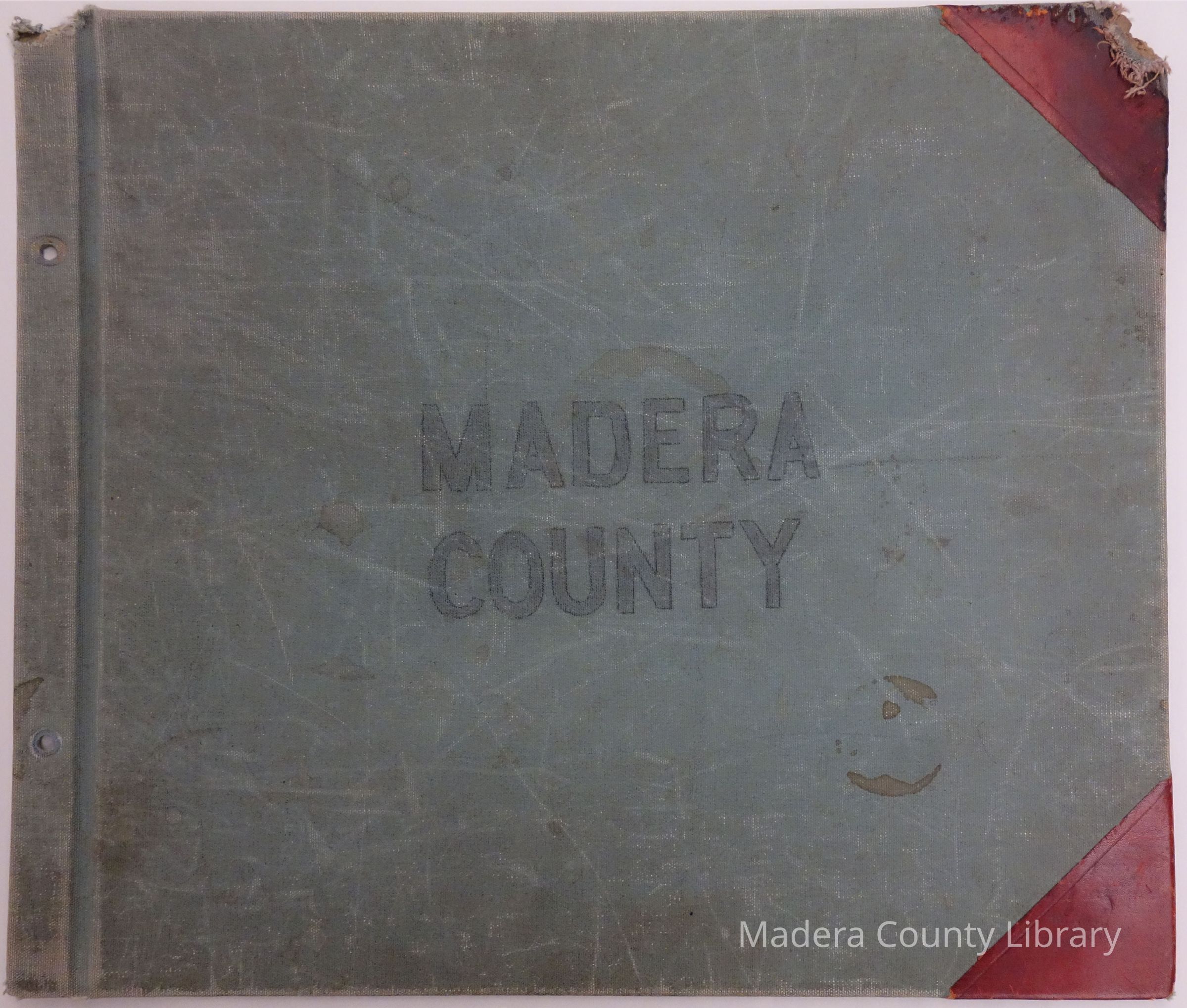
Name/Title
Madera County Land Plat Maps, ca. 1920Entry/Object ID
1920MaderaCountyDescription
No. of Pages: 50
Land Plat Maps for Madera County, ca. 1920. Land locations Include Owner/Homestead Name as well as Indian Allotment Name/Land.Lexicon
Search Terms
Map, Land PlatPublication Details
Publication Type
BookPublication Language
EnglishDimensions
Height
14-1/4 inWidth
12-1/8 inRelationships
Related Places
Place
County
Madera CountyState/Province
CaliforniaContinent
North AmericaCountry
United StatesCopyright
Restrictions
The Madera County Public Library makes no assertions as to ownership of any original copyrights to digitized images. However, these images are intended for Educational or Research use only. Any other kind of use, including, but not limited to, commercial or scholarly publication in any medium or format, public exhibition, or use online or in a web site, may be subject to addtional restrictions including, but not limited to, the copyrights held by parties other than the Library. USERS ARE SOLELY RESPONSIBLE for determining the existence of such rights and for obtaining any permissions and/or paying associated fees necessary for the proposed use.Created By
admin@catalogit.appCreate Date
November 10, 2015Updated By
admin@catalogit.appUpdate Date
October 28, 2019