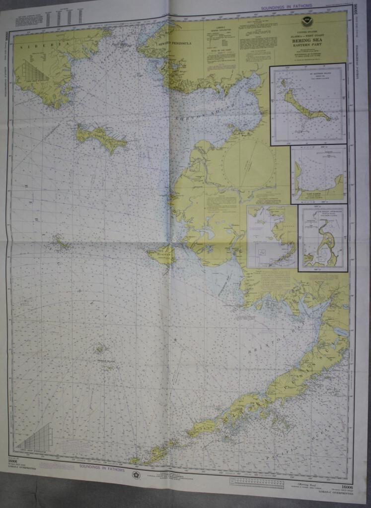
chart entitled Bering Sea: Eastern Part. Chart Icludes West Coast of Alaska from Unimak Pass to the Bering Strait and a small portion of Siberia.
Insets: Insets of Nash Harbor, St. Matthew Island, and Cape Etolin Anchorage
Collection
Maps and Charts Collection
Lexicon
Nomenclature 4.0
Nomenclature Secondary Object Term
Chart, Navigational
Nomenclature Primary Object Term
Chart
Nomenclature Sub-Class
Graphic Documents
Nomenclature Class
Documentary Objects
Nomenclature Category
Category 08: Communication Objects
Map Details
Area or Region
Map or Chart Area
North Pacific, Bering Sea, Siberia and Alaska
Ocean
North Pacific Ocean, Pacific Ocean, World Ocean, Bering Sea, Arctic Ocean