HUB
Collections
Classifications
About
App
Depth Chart
Archive
-
Maritime Museum of San Diego
Name/Title
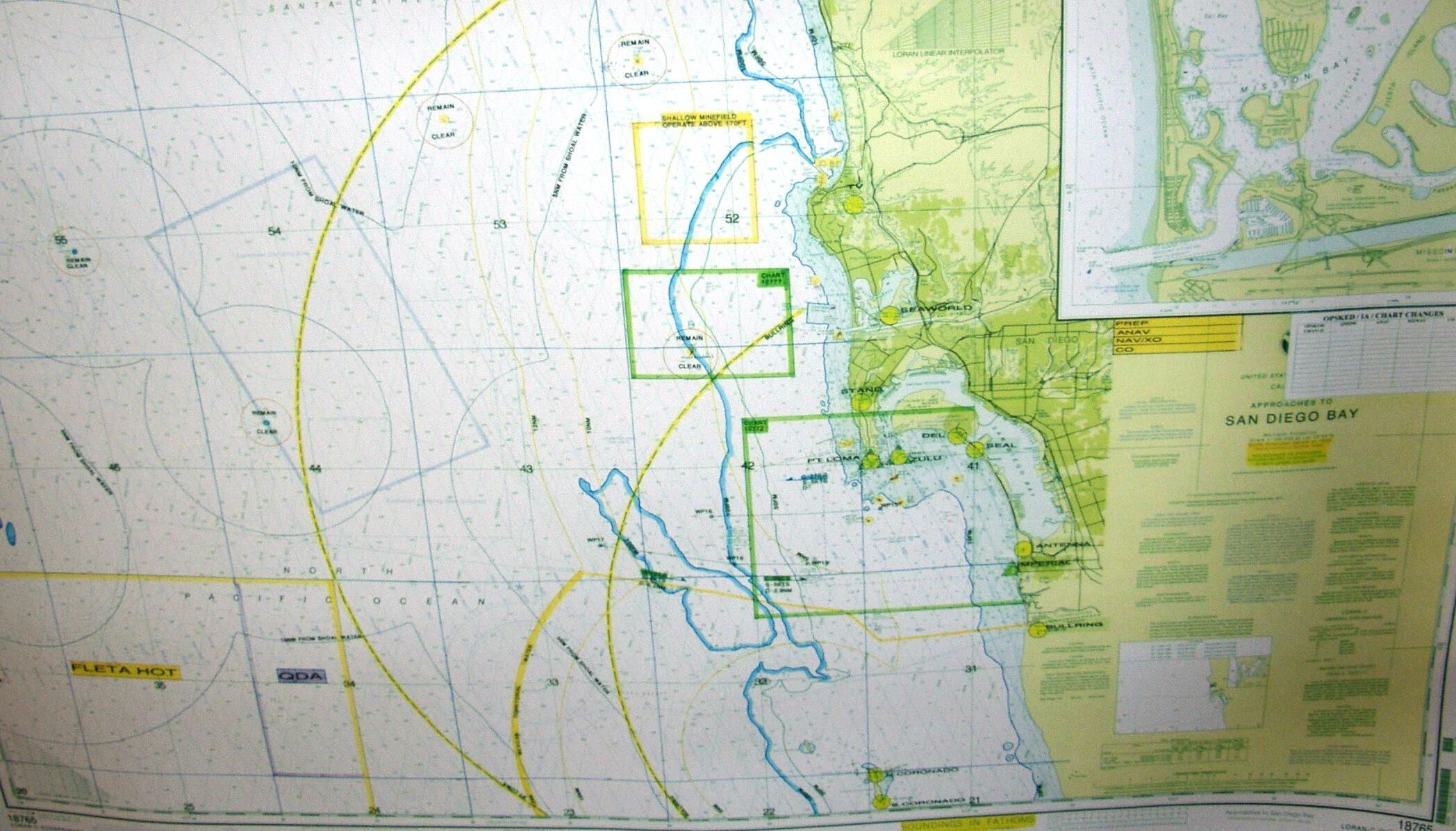
Depth Chart
Entry/Object ID
MC18126.5
Scope and Content
Chart of depths and approaches to San Diego Bay, used by USS Dolphin (AGSS 555) Insets: Mission Bay North Latitude: 32 West Longitude: 117
Collection
USS Dolphin (AGSS-555) Collection
Lexicon
Nomenclature 4.0
Nomenclature Secondary Object Term
Map
Nomenclature Primary Object Term
Cartograph
Nomenclature Sub-Class
Graphic Documents
Nomenclature Class
Documentary Objects
Nomenclature Category
Category 08: Communication Objects
Archive Details
Date(s) of Creation
2005