HUB
Collections
Classifications
About
App
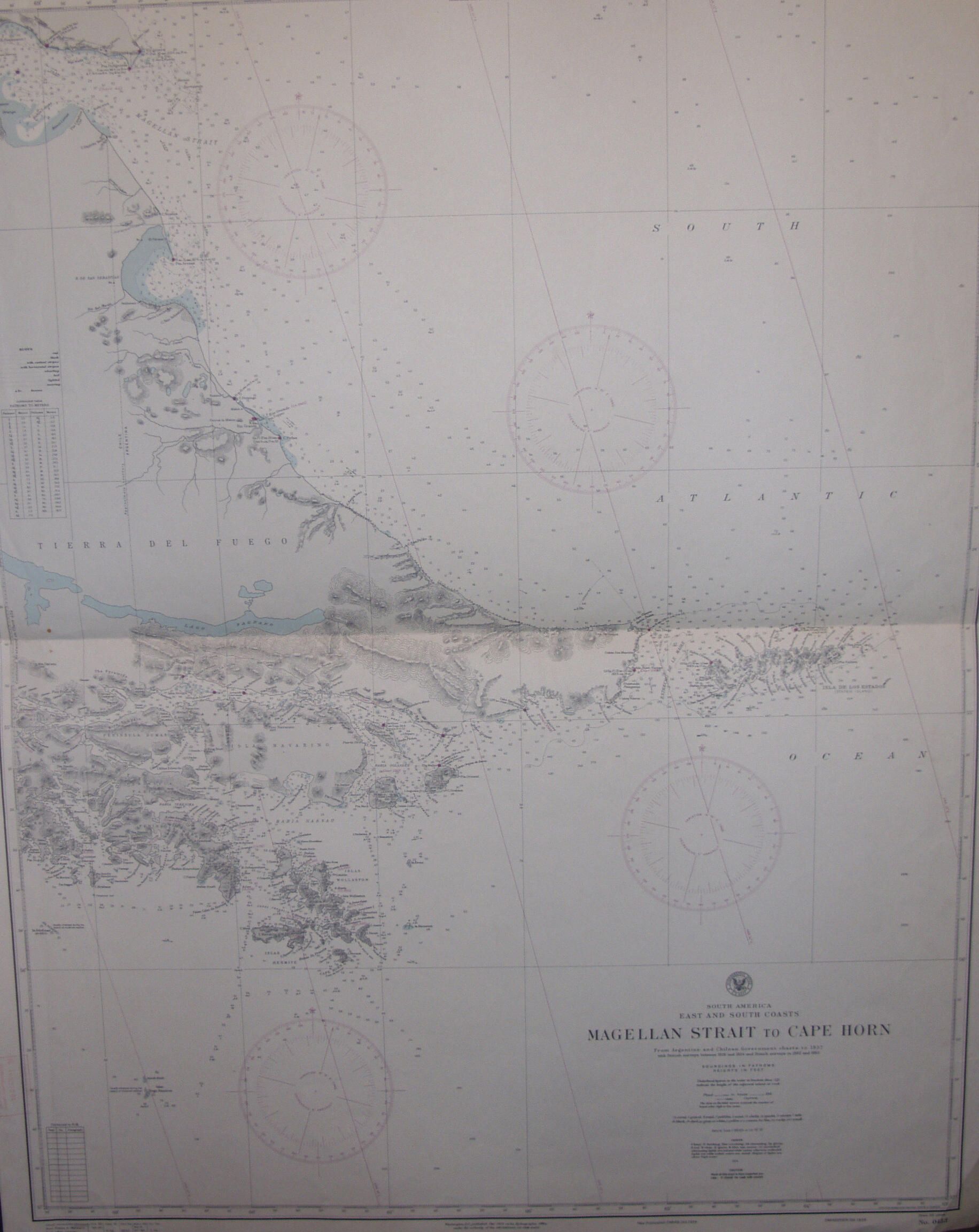
MAGELLAN STRAIT TO CAPE HORN MAP
Object/Artifact
-
Maritime Museum of San Diego
Name/Title
MAGELLAN STRAIT TO CAPE HORN MAP
Entry/Object ID
M-0639
Description
South America East & South Coasts Nagekkab Straut Ti Caoe Girb From Argentina & Chilean Bovernment Charts To 1937 with British Surveys Between 1828 & 1834 & French Surveys in 1882 & 1883 Folded in Center
Collection
Prints, Posters, and Illustrations Collection
Lexicon
Nomenclature 4.0
Nomenclature Secondary Object Term
Map
Nomenclature Primary Object Term
Cartograph
Nomenclature Sub-Class
Graphic Documents
Nomenclature Class
Documentary Objects
Nomenclature Category
Category 08: Communication Objects
Search Terms
Misc. (Writing)
Material
Paper