HUB
Collections
Classifications
About
App
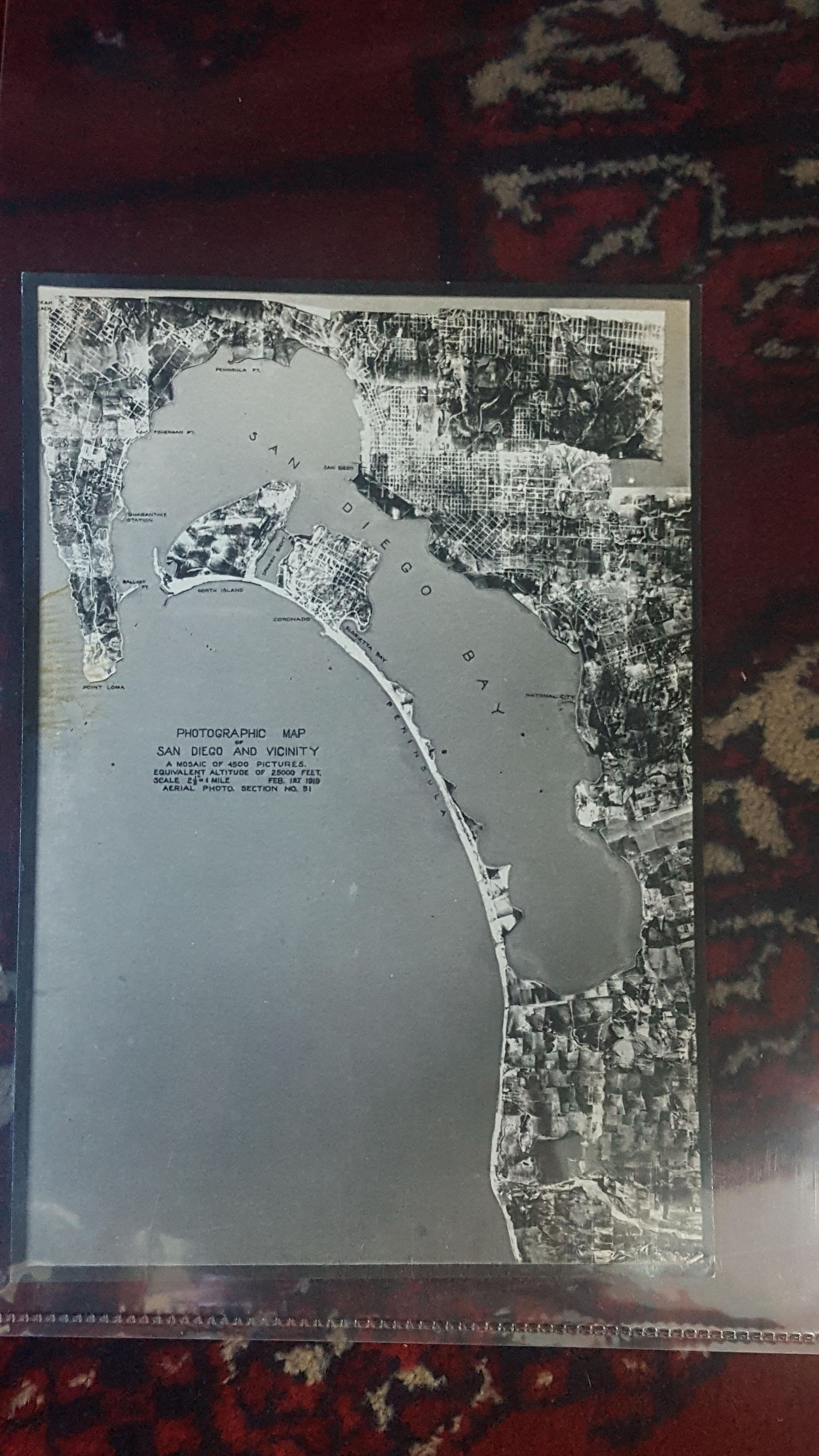
Photographic map of San Diego and Vicinity
Photograph
-
Maritime Museum of San Diego
Name/Title
Photographic map of San Diego and Vicinity
Entry/Object ID
p-26830
Description
A mosaic of 4500 pictures; equivalent altitude of 25,000 feet; scale 2 1/2 in = 1 mile; Feb 1st, 1919; Coronado and North Island before it was filled in.
Collection
Nancy Dubois Photograph Collection
Made/Created
Artist
Fitch, Herbert R.
Date made
1919
Lexicon
Nomenclature 4.0
Nomenclature Secondary Object Term
Print, Photographic
Nomenclature Primary Object Term
Photograph
Nomenclature Sub-Class
Graphic Documents
Nomenclature Class
Documentary Objects
Nomenclature Category
Category 08: Communication Objects