Name/Title
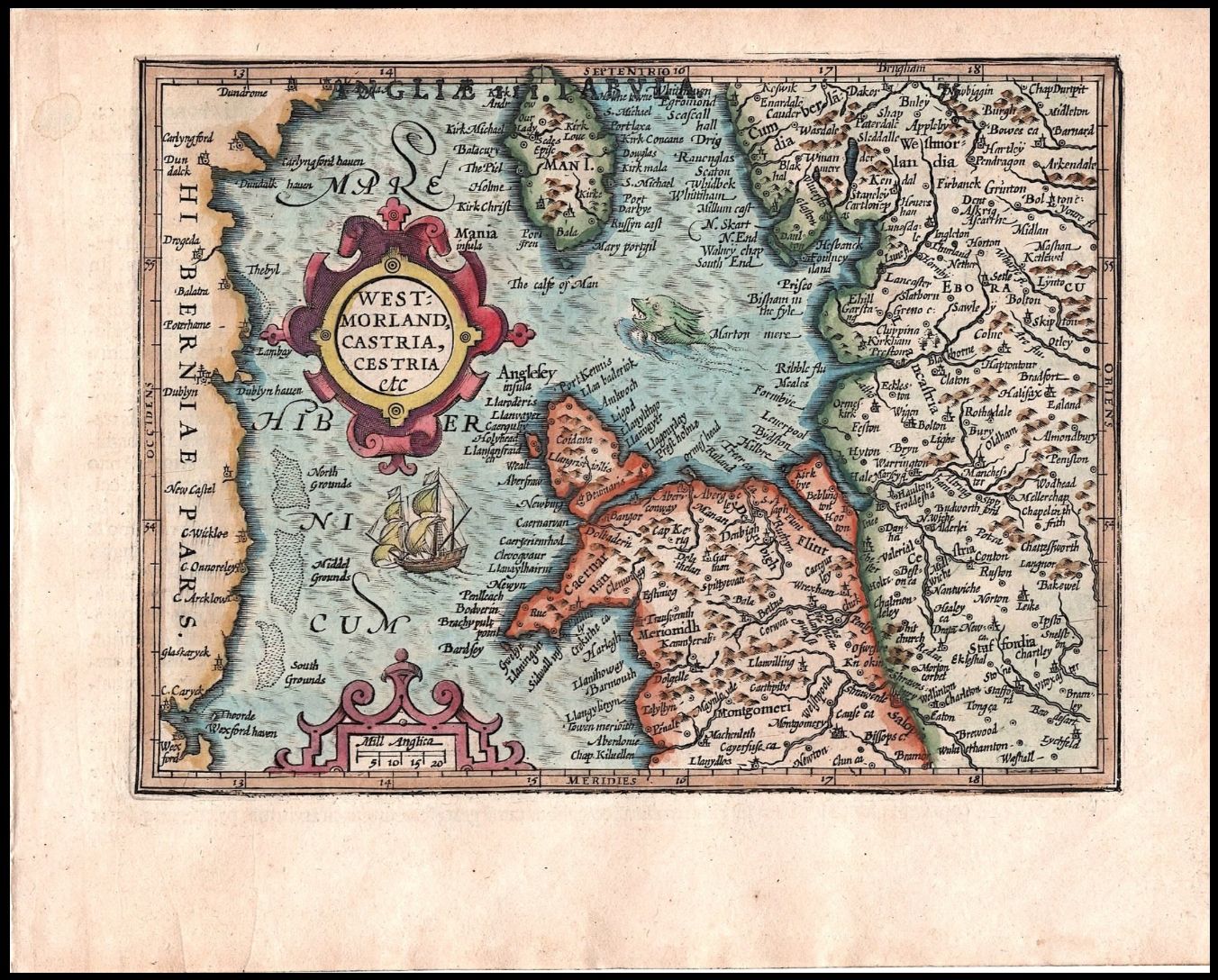
CE 1607 — Gerard Mercator & Jodocus Hondius, Westmorland, Castria, Cestria etc. — Map of Northwestern England, Wales & Isle of ManDescription
Gerard Mercator (1512–1594) and Jodocus Hondius (1563–1612)
Westmorland, Castria, Cestria etc.
From Atlas Minor Gerardi Mercatoris
Amsterdam, 1607
Copper engraving on paper with later hand coloring
Map: approx. 13.5 × 18.5 cm
Sheet: approx. 17.5 × 22.5 cm
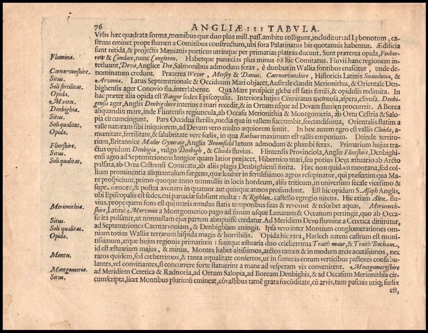
Latin text on verso
This small-format map depicts northwestern England, northern Wales, the Isle of Man, and portions of the eastern coast of Ireland. It was published in the first edition of Jodocus Hondius’s Atlas Minor Gerardi Mercatoris in Amsterdam in 1607. A digitized copy of that edition held by the Badische Landesbibliothek contains the map in the same sequence, while the David Rumsey Map Collection catalogs it specifically as Westmorland, Castria, Cestria etc.
The map concentrates on the counties bordering the Irish Sea. Westmorland and Lancashire occupy much of the English portion, with Cheshire (Cestria) farther south and parts of Yorkshire and neighboring counties to the east. Across the water appear the Isle of Man and the eastern Irish coastline, including Dublin. Northern Wales occupies the lower center of the map, with Anglesey prominently shown offshore.
Relief is represented pictorially by small groups of mountains, while towns, rivers, county boundaries, coastal settlements, and other geographical features are densely labeled. The Irish Sea functions as the visual center of the composition rather than as an empty space separating England, Wales, Ireland, and Man. A sailing ship and a marine creature occupy the sea, conventional decorative elements that also emphasize the maritime connections among the regions represented.
The map belongs to the cartographic tradition established by Gerard Mercator, whose larger atlas was published during the final years of his life and completed posthumously. After acquiring Mercator’s atlas plates, Jodocus Hondius expanded and republished his work. In 1607 Hondius introduced the Atlas Minor, a reduced-format atlas based upon the Mercator-Hondius cartographic corpus. The smaller maps made the geographical material available in a more portable format. The 1607 edition is documented as the first appearance of this reduced plate, which continued to be used in subsequent editions.
The ornamental cartouche at left gives the abbreviated title WEST / MORLAND, / CASTRIA, / CESTRIA / etc. A scale of miles appears below. The border is graduated for latitude and longitude.
The verso contains Latin geographical text headed ANGLIAE III TABULA. The surviving text discusses the counties represented on this and related maps, including Caernarvonshire, Denbighshire, Flintshire, Merionethshire, and Montgomeryshire. Comparison with the 1607 atlas confirms the relationship between this text and the map sequence; the Rumsey collection likewise records the corresponding Latin text pages in the 1607 edition.Create Date
September 15, 2026Update Date
September 16, 2026