Name/Title
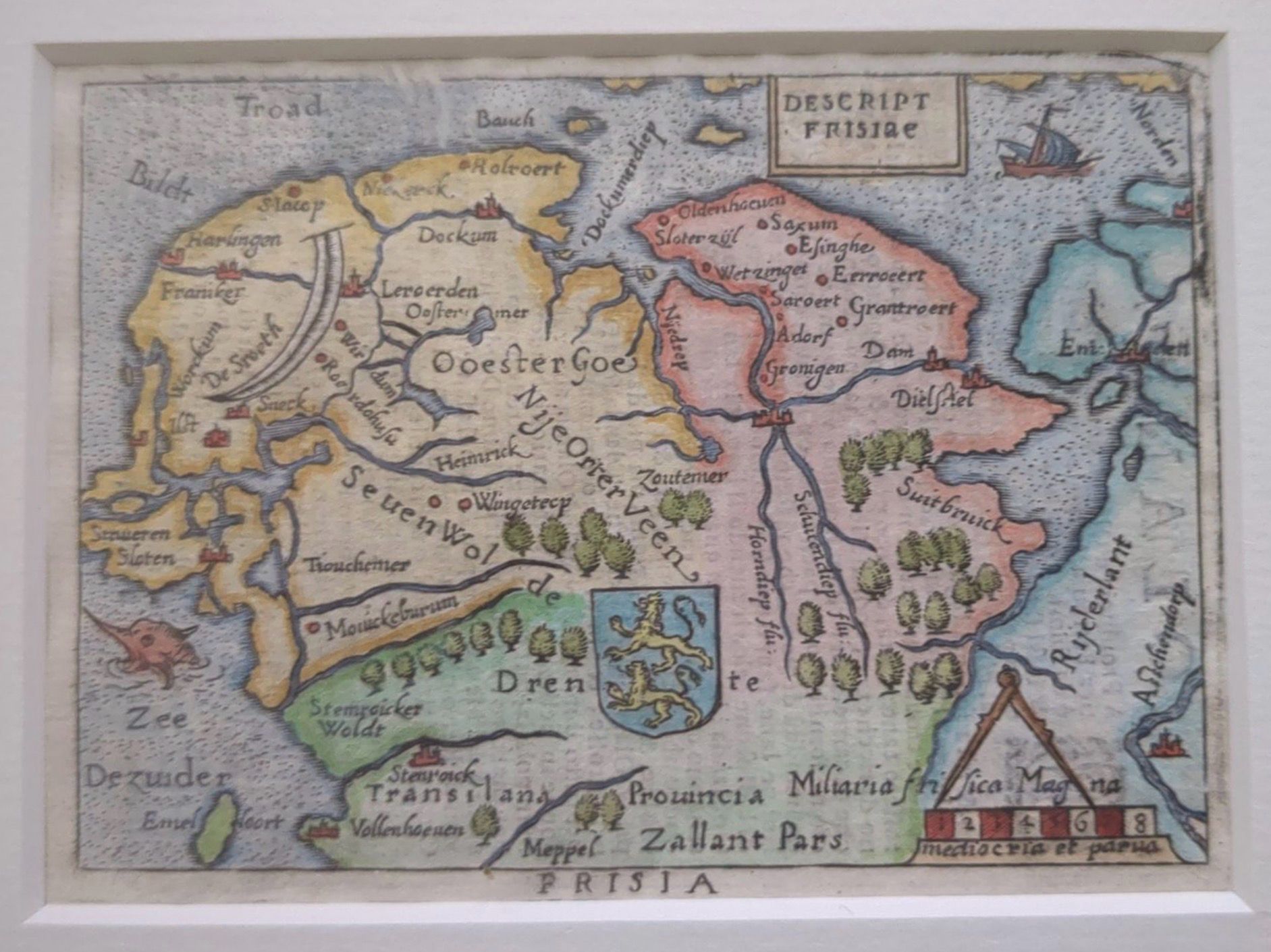
CE 1681-1700 c. Descriptio Frisiae (Map of Friesland), after Abraham OrteliusDescription
After Abraham Ortelius (1527–1598)
Descriptio Frisiae
From an epitome or pocket-atlas tradition derived from Ortelius
Late seventeenth century, provisionally c. 1681–1700
Copper engraving on paper with hand coloring
This miniature map depicts Friesland and adjoining parts of the northern Netherlands. Towns, waterways, islands, wooded areas, and political boundaries are compressed into a small format, accompanied by the arms of Friesland, a scale, ships, and other decorative details.
The map derives from the cartographic tradition established by Abraham Ortelius’s Theatrum Orbis Terrarum, first published at Antwerp in 1570. The success of the Theatrum generated numerous smaller “epitome” editions that condensed its maps for more portable and less expensive books. Such editions were copied, translated, and reissued by different publishers well beyond Ortelius’s lifetime.
The map is therefore better understood as after Ortelius rather than as a map personally produced by Ortelius. Its small scale demonstrates how geographical information originally developed for large folio atlases was reformatted for different readerships and markets.
Friesland’s dense network of waterways is prominent in the image, reflecting the close relationship among settlement, transportation, agriculture, and water management in the northern Netherlands.Create Date
June 2, 2026Update Date
September 4, 2026