Name/Title
MapEntry/Object ID
0110.1.33Description
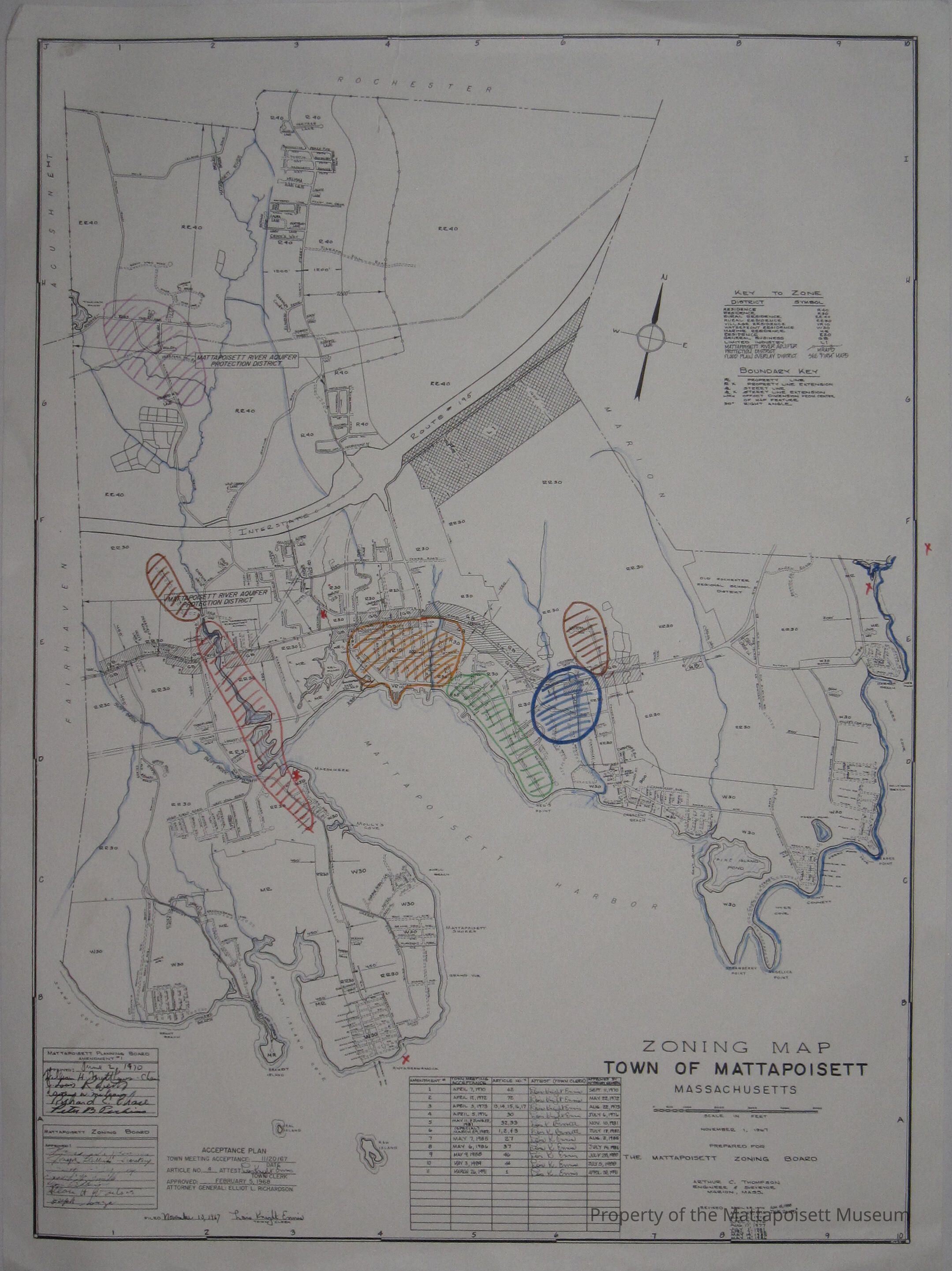
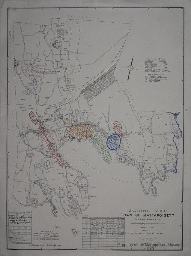
Zoning map, Town of Mattapoisett, Massachusetts. Prepared for the Mattapoisett Zoning Board. November 1, 1967. Different areas are color coded, no indication of what they’re coded for. Several red X’s. Back of document includes index of roads and points of interest.Collection
Maps/Surveys/Blueprints (MP)Acquisition
Accession
0110.1Acquisition Method
GiftMade/Created
Date made
1967 - 1967Notes
Date: 11/20/1967Lexicon
Nomenclature 4.0
Nomenclature Secondary Object Term
MapNomenclature Primary Object Term
CartographNomenclature Sub-Class
Graphic DocumentsNomenclature Class
Documentary ObjectsNomenclature Category
Category 08: Communication ObjectsSearch Terms
Mattapoisett Harbor, Mattapoisett, MACreated By
admin@catalogit.appCreate Date
February 24, 2015Updated By
admin@catalogit.appUpdate Date
August 28, 2021